
 England
Castle Folds or Castlesteads was a Romano-British walled settlement on Great Asby Scar – an area of limestone pavement in the parish of Asby, Cumbria [1]. In medieval times, it was used as a shieling – a temporary summer shelter [1]. It is now in ruins but is protected as a scheduled monument [1]. The settlement covered most of a small knoll on the limestone pavement of the scar [1]. A walled enclosure surrounded most of the knoll and, on the western side, the eight-foot thick walls extended the steep escarpment of the knoll to form a significant obstacle [1]. The area enclosed is about 1.25 acres [1]. There were about a dozen stone huts built into the walls of the enclosure so that the central space was open [1]. The wall was constructed from orthostats which enclosed rubble [1].
Text: Wikipedia – 'Castle Folds' (revision of 2026-07-19), CC BY-SA 4.0 · sentences selected and shortened by an AI system · source →Castle Folds
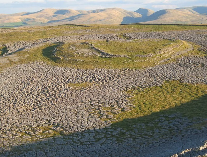
Also known as: Castle Folds Romano-British defended stone hut circle settlement and medieval shieling
| Type | Settlement |
|---|---|
| Period | 1 - 500 AD |
| Country | England |
| Coordinates | 54.4782° N, 2.5403° W |