
 England
Village in Cumbria built over the Roman fort of Verterae, which guarded the strategic Stainmore Pass across the Pennines between Carlisle and York. The 3-acre rectangular fort was probably established under Governor Agricola around AD 79-80, with occupation lasting into the early 5th century. Its final garrison was the Numerus Directorum, a unit of 300-400 soldiers. After Roman withdrawal, a Norman castle (Brough Castle) was constructed within the fort's ruined walls in the 11th century. The antiquarian William Camden rediscovered the site's Roman identity in the 16th century.
Brough, Cumbria
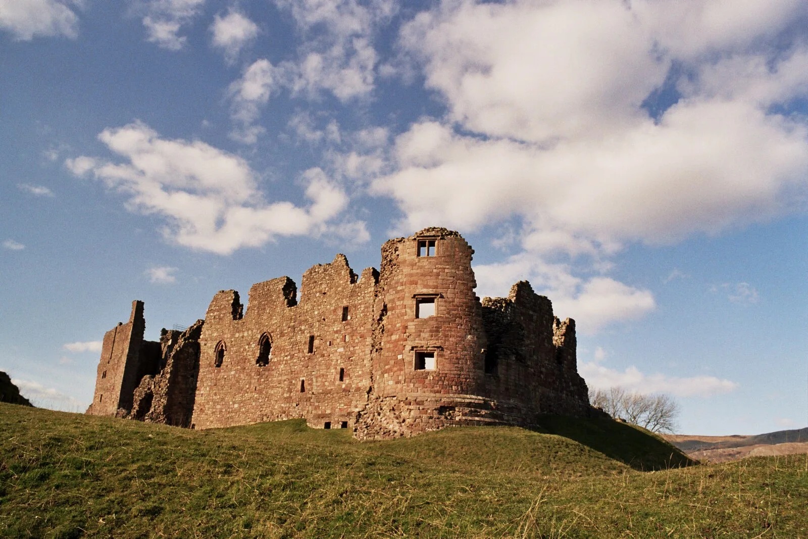
Also known as: Brough, Brough (Cumbria), Brough (Kumbria), Brough (lungsod sa Hiniusang Gingharian, Cumbria, lat 54,53, long -2,32), Brough under Stainmore, Brough, Westmorland, Verteris, Броу, براو (کامبریا), براو، کامبریا, بروف، کامبریا, 布拉夫
| Type | City/town/settlement |
|---|---|
| Period | 1 - 500 AD |
| Country | England |
| Coordinates | 54.5257° N, 2.3187° W |