
 England
Virosidum was a Roman fort and settlement situated near to the modern town of Bainbridge, North Yorkshire [1]. The fort occupies a strategic position on the summit of Brough Hill, between the confluence of the River Bain and River Ure [1]. While the fort may have had an earlier phase, the visible remains date to AD 90–105 [1]. It initially had an earth and timber rampart which was rebuilt in stone around AD 190 [1]. The visible outline of the defences of the fort contains an area of 1.16 hectares (2.8 acres) [1]. The fort platform survives to a height of 3.9 m, and it is surrounded by a single ditch on the north, east and south sides, with a series of five ditches on the west [1]. The fort was first excavated by John Kirk and R. G. Collingwood in 1925–6, then by John Percival Droop for Liverpool University in 1928-9 and 1931 [1]. Five individual inscriptions have been discovered from the fort; three of these were dedicated by the Cohors VI Nerviorum, and a further two are dedicated to individual units [1].
Text: Wikipedia – 'Virosidum' (revision of 2026-08-21), CC BY-SA 4.0 · sentences selected and shortened by an AI system · source →Virosidum
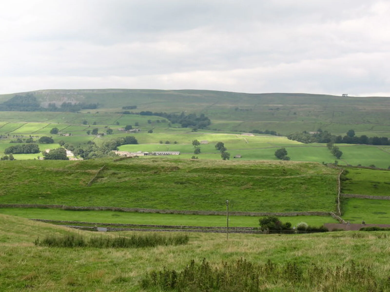
Also known as: Bainbridge Roman fort and annexe
| Type | Fortress/citadel |
|---|---|
| Period | 1 - 500 AD |
| Country | England |
| Coordinates | 54.3061° N, 2.0970° W |