
 England
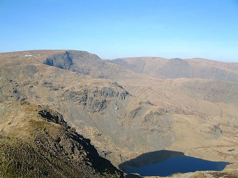
High Street is a fell in the English Lake District [1]. The fell is named after the Roman road that ran over the summit [1]. A Roman road, a scheduled monument, crosses the fell between Roman forts at Brougham near Penrith and Ambleside [1]. Although the route takes the road higher than any other Roman road in England, the High Street range has quite gentle slopes and a flat summit plateau, characteristics that may have persuaded Roman surveyors to build the road over the fell tops rather than through the valleys which were densely forested and marshy making them susceptible to ambush [1]. There has been speculation that the Romans made use of a prehistoric trackway [1]. The nature of the Roman road remains problematic, as much of it is sunken in a hollow, rather than being built on top of an embankment or agger in the usual Roman fashion [1]. Funding was obtained for an archaeological excavation to investigate the Roman road in 2022 [1]. The investigation focussed on a stretch of the road at Bampton Common [1].
Text: Wikipedia – 'High Street (Lake District)' (revision of 2026-08-13), CC BY-SA 4.0 · sentences selected and shortened by an AI system · source →High Street, Lake District
Also known as: High Street, High Street (Distretto dei Laghi), High Street i Lake District, High Street (Lake District), جبل هيج ستريت
| Type | Road/avenue/trackway |
|---|---|
| Period | 1 - 500 AD |
| Country | England |
| Coordinates | 54.4921° N, 2.8649° W |