
 England
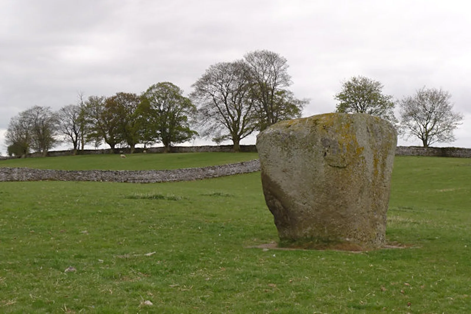
Shap Stone Avenue sits near the centre of the Eden Valley, Cumbria [1]. It is broadly grouped into a category of monuments dubbed by Aubrey Burl, as 'Cumbrian Circles': large, uncluttered enclosures of stone [1]. The monuments around Shap form a northwest alignment with several monuments in the Eden Valley [1]. A significant burial cairn, known as 'Skellaw Hill', is found at the avenue's northern end, though most stones have now been lost [1]. The Goggleby Stone is about ten feet high and has a cup mark on its north face [1]. Tom Clare suggests that the avenues date to the Late Neolithic period (approximately 3,200 - 2,500 BC), based upon evidence supplied by the Goggleby Stone [1].
Text: Wikipedia – 'Shap Stone Avenue' (revision of 2026-07-20), CC BY-SA 4.0 · sentences selected and shortened by an AI system · source →Shap Stone Avenue
Also known as: Steinreihe von Shap
| Type | Road/avenue/trackway |
|---|---|
| Period | 4500 - 3000 BC |
| Country | England |
| Coordinates | 54.5132° N, 2.6688° W |