
 England
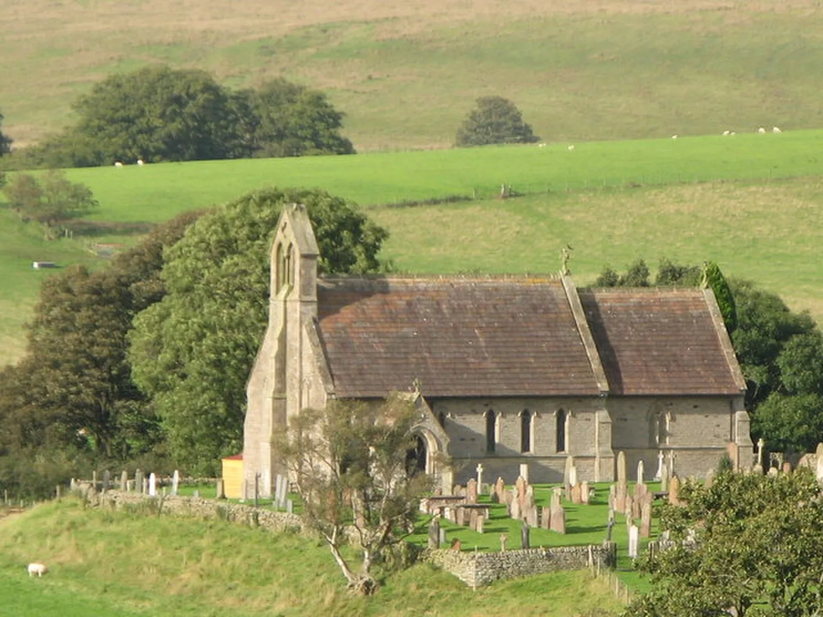
A Roman fort on the Stanegate road in Cumbria, approximately 0.8 km south of Hadrian's Wall. Built in the late 1st to early 2nd century AD, it was contemporary with Trajanic-era forts at Carlisle and Corbridge (c. 103 AD). The smaller fort phase measured about 105 x 155 m covering 4 acres, with aerial photography revealing a larger 7-acre earlier fortification beneath. Abandoned around AD 122 after Hadrian's Wall was built, the civilian settlement (vicus) continued in use on lower ground nearby. St Cuthbert's Church now stands on the fort site.
Nether Denton
Also known as: Nether Denton, Cumbria, ندر دنتون
| Type | City/town/settlement |
|---|---|
| Period | 1 - 500 AD |
| Country | England |
| Coordinates | 54.9610° N, 2.6210° W |