
 England
The Maiden Way or Maidenway was a roughly 20-mile Roman road in northern Britain connecting the Roman fort of Bravoniacum (Kirkby Thore) near Penrith with that of Magnis (Carvoran) on Hadrian's Wall, via the intermediate fort of Epiacum roughly half-way between the two [1]. Bravoniacum was a waypoint on the northern leg of the Roman road connecting Luguvalium (Carlisle) with Eboracum (York) and points south [1]. Magnis was one of the waypoints on the Stanegate beside Hadrian's Wall [1]. As such, the Maiden Way served as a shortcut for supplying the central and eastern areas of the Wall [1]. It also provided supplies to the lead and silver mines near Epiacum (Whitley Castle) [1]. Following the end of Roman rule in Britain, the Maiden Way was used as a drovers' road [1]. The route was probably named after the Maiden Castle fortlet guarding the Stainmore Pass to the east of the fort of Verterae [1].
Text: Wikipedia – 'Maiden Way' (revision of 2026-04-18), CC BY-SA 4.0 · sentences selected and shortened by an AI system · source →Maiden Way
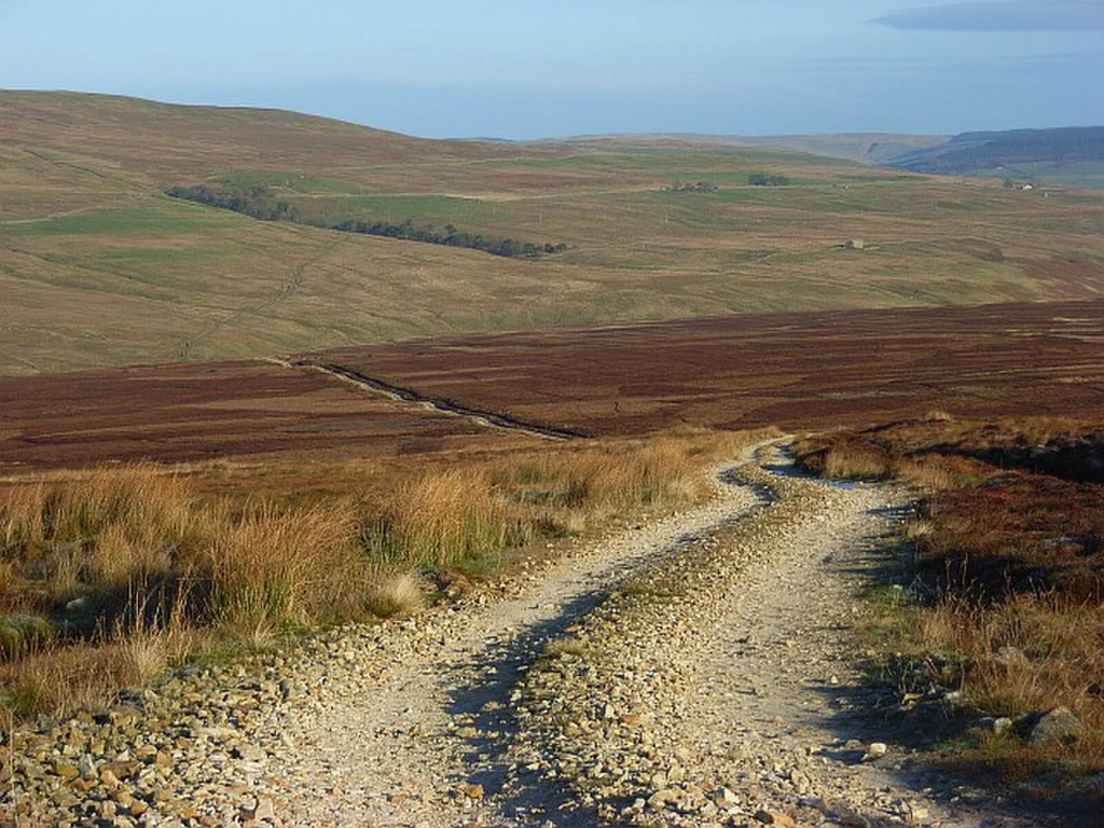
Also known as: Maidenway, Maiden Way Roman road, Maydengathe, Via Puellarum
| Type | Road/avenue/trackway |
|---|---|
| Period | 1 - 500 AD |
| Country | England |
| Coordinates | 54.6251° N, 2.5609° W |