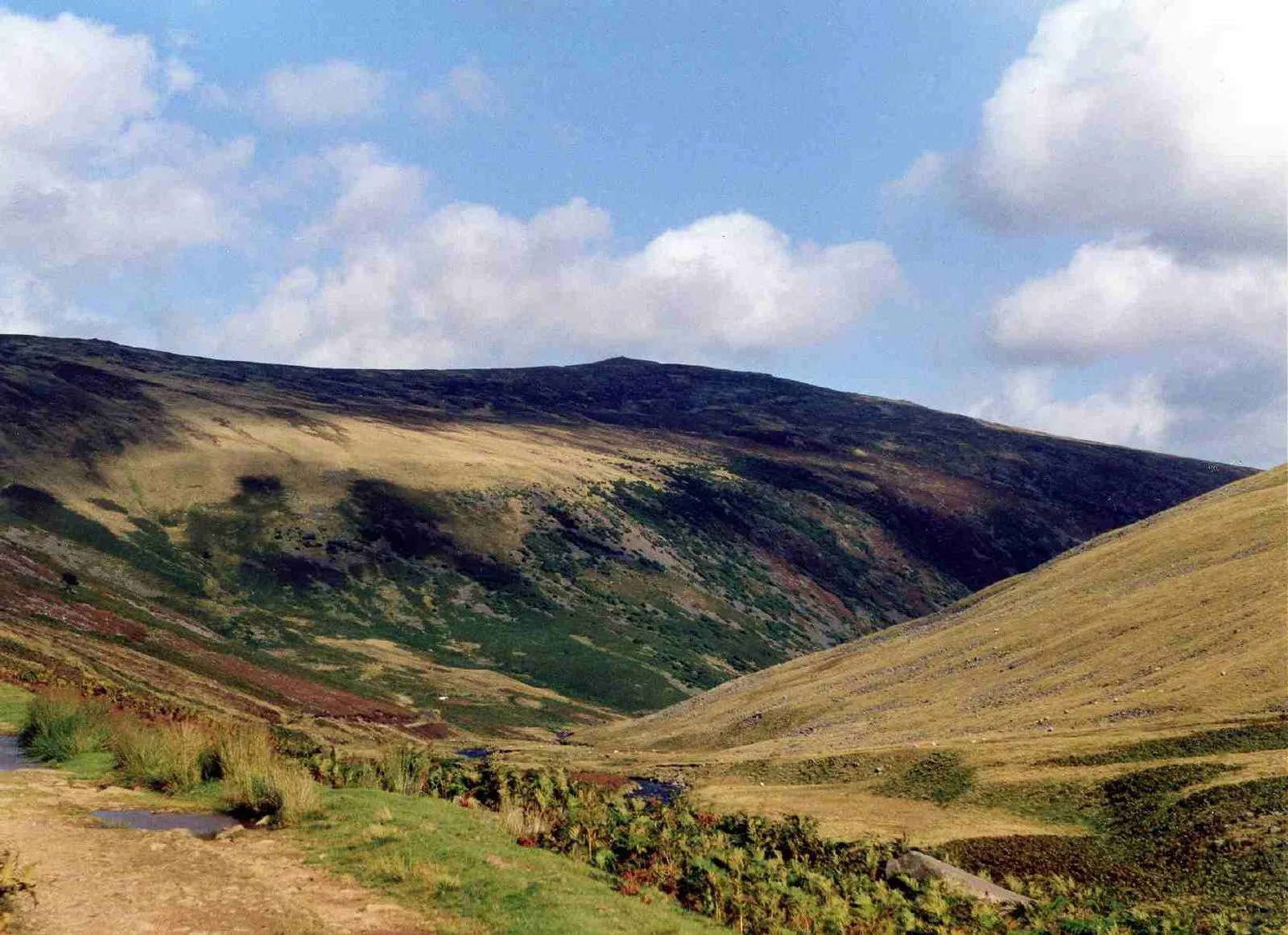
Carrock Fell

Carrock Fell
Mick Knapton at English Wikipedia · CC BY-SA 3.0

Also known as: جبل كاروك فيل

Carrock Fell is a fell in the English Lake District, situated in the northern region of the national park, 8 miles north-east of Keswick [1]. Carrock Fell is also the site of an Iron Age hill fort which crowns the summit [1]. Only the foundations of the walls remain [1]. The fort is oval shaped and is believed to have been built by the Celts and destroyed by the Romans in their conquest of northern England [1].

Text: Wikipedia – 'Carrock Fell' (revision of 2026-08-10), CC BY-SA 4.0 · sentences selected and shortened by an AI system · source →
TypeFort
Period1500 - 500 BC
CountryEngland
Coordinates54.6937° N, 3.0231° W

Related resources

More sites in England

Castlerigg Stone Circle · Castle Crag · Luguvalium · Stanwix · Petriana · Caer Mote · Aballava · Blennerhasset and Torpenhow · High Street, Lake District · Langdale Axe Industry · Coggabata · Ambleside Roman Fort · Mayburgh Henge · King Arthur's Round Table · Brocavum · Mais, Bowness · Hardknott Roman Fort · Cardurnock · Long Meg and Her Daughters · Papcastle · Little Meg · Glassonby · Camboglanna · Burnmoor Stone Circles

All sites in England →

Was this page useful?

Keep exploring

Every site on this page sits on the globe, and the people who research them are on the Discord.

3D Globe · Sites by country · Story Archive · Research Library · Weekly Journal · Search