
 England
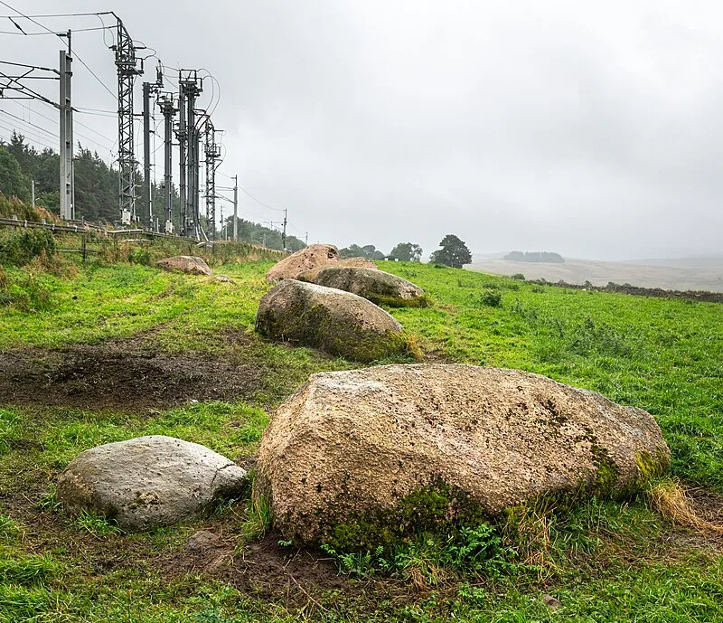
The Shap Stone Avenue is a largely destroyed Late Neolithic megalithic complex near Shap in Cumbria, England, dating to approximately 3200-2500 BC. Before its destruction it was one of the largest megalithic monuments in Europe, comparable to Avebury. The avenue extends almost 2.5 km in a southeast-to-northwest arc, constructed primarily from local pink granite, with the Thunder Stone and Goggleby Stone as notable glacial erratics. Two stone circles anchor the complex: Kemp Howe at the southern end and Carl Loft to the northwest. English Heritage has recorded only 14 surviving stones, as centuries of agricultural development and stone-blasting from the 18th century onward progressively dismantled the monument.
Shap Stone Avenue
| Type | Road/avenue/trackway |
|---|---|
| Period | 4500 - 3000 BC |
| Country | England |
| Coordinates | 54.5132° N, 2.6688° W |