
 Germany
The Main Limes, also called the Nasser Limes, was built around 90 AD and, as part of the Upper Germanic-Rhaetian Limes, formed the frontier of the Roman Empire in the area between the present day villages of Großkrotzenburg and Bürgstadt [1]. In this section the limes adjoined the River Main (Moenus), which forms a natural boundary for about 50 kilometres here, so "Main" refers to the river [1]. However, of the many watchtowers that probably stood along the Main, to date only one south of Obernburg am Main has been identified [1]. North of the Main the limes initially runs through the marshy terrain of the Schifflache and Bulau before linking up with the Wetterau Limes [1]. At the crossing of the Main at Großkrotzenburg a Roman bridge has been identified from post sockets [1]. In the south it extended in its early period to Obernburg or Wörth [1].
Text: Wikipedia – 'Main Limes' (revision of 2025-09-02), CC BY-SA 4.0 · sentences selected and shortened by an AI system · source →Main Limes
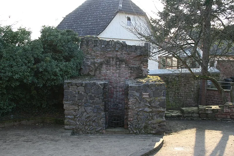
Also known as: Mainlimes, Majnski limes, Nasser Limes
| Type | Earthwork |
|---|---|
| Period | 1 - 500 AD |
| Country | Germany |
| Coordinates | 50.0822° N, 8.9803° E |