
 Germany
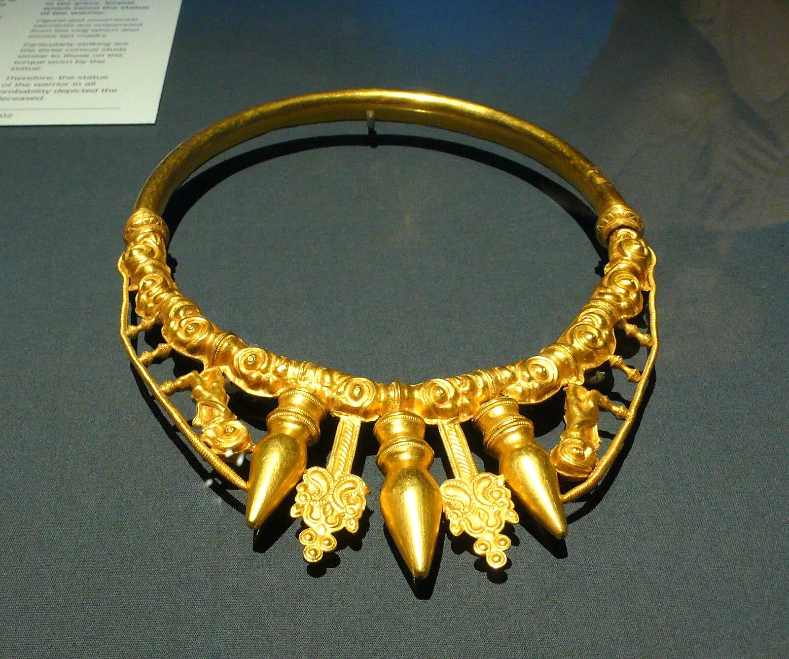
The Glauberg, a ridge on the east edge of the Wetterau plain, is a basalt spur of the Vogelsberg range [1]. The discovery of a fragment of an early La Tène torc in 1906 confirmed the prehistoric nature of the site [1]. The Glauberg plateau was first settled in the Neolithic era (c. 4500 BC) by people of the Rössen culture [1]. The earliest known fortifications might be pre-Celtic, but they reached a high point in terms of size and elaboration around the 6th or 5th century BC [1]. They remained in use until the 2nd or 1st century BC [1]. Their extent and dimensions mark the Glauberg as one of a network of fortified sites that covered most of south and west central Germany [1]. Much international attention was attracted by the 1996 discovery of an extremely rare find, a life-sized sandstone statue or stele, dating from the 5th century BC [1]. The stele, fully preserved except for its feet, depicts an armed male warrior [1].
Text: Wikipedia – 'Glauberg' (revision of 2026-09-02), CC BY-SA 4.0 · sentences selected and shortened by an AI system · source →Glauberg
Also known as: Glauberg (bungtod sa Alemanya, Regierungsbezirk Darmstadt), Oppidum Glauberg, Vorstengraf, Vorstengraf (Glauberg), Глауберг, جبل جلاوبيرج
| Type | Fortification |
|---|---|
| Period | 4500 - 3000 BC |
| Country | Germany |
| Coordinates | 50.3053° N, 9.0086° E |