
 Germany
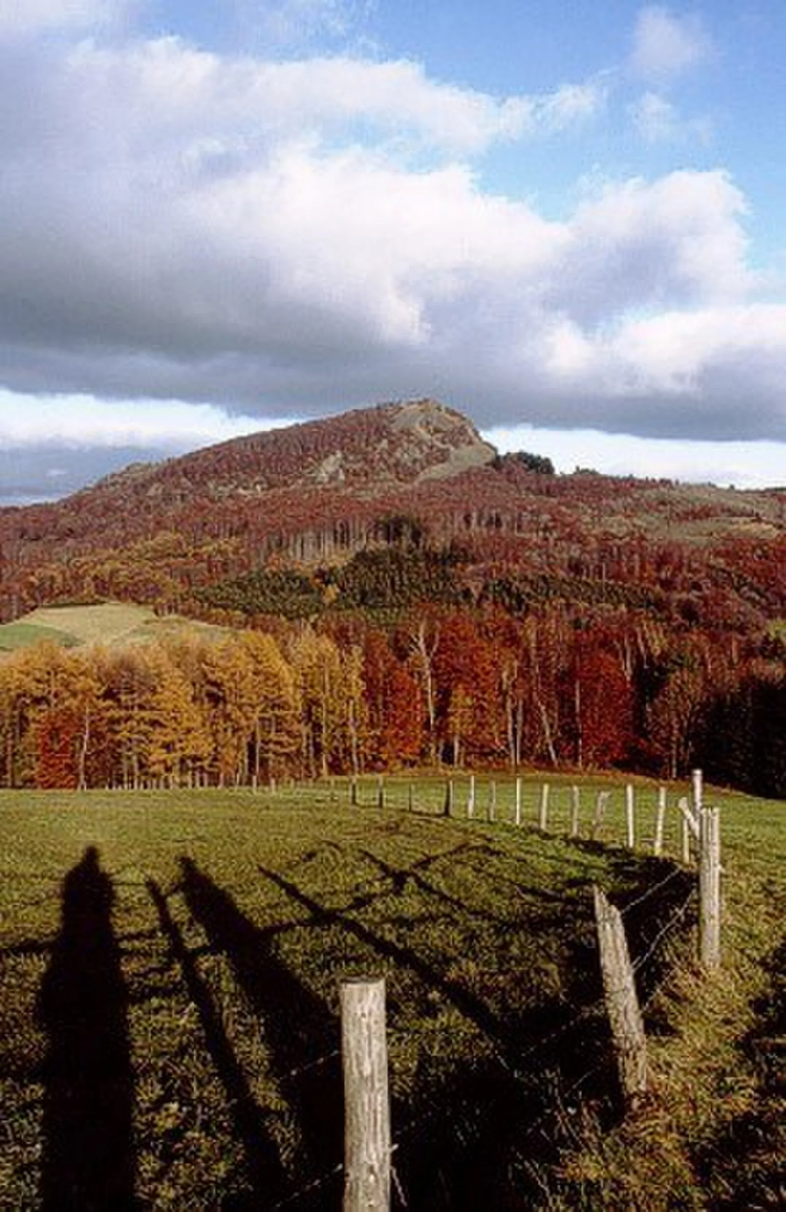
The Milseburg is an extinct volcano and at 835 metres above sea level the second highest elevation in the Hessian part of the Rhön Mountains, Germany [1]. The hill is located east of Fulda [1]. The Milseburg is most notable for having been the site of an important Celtic oppidum [1]. It was likely occupied from around 1200 to 800 BC and again from 450 BC to around the turn of the eras [1]. The Ringwall (circular rampart) was one of the largest and most elevated in eastern Hesse [1]. It originally had three gates, only one of which — the Tor am Kälberhutstein — was passable by wagons [1]. The main fortification was a 1,300 metres long stone wall that surrounded the north, east and south sides of the hill at its base [1]. It was discovered as ancient in origin by R. Virchow (1821–1902) [1].
Text: Wikipedia – 'Milseburg' (revision of 2026-08-15), CC BY-SA 4.0 · sentences selected and shortened by an AI system · source →Milseburg
Also known as: جبل ميلسيبورج
| Type | Fortification |
|---|---|
| Period | 1500 - 500 BC |
| Country | Germany |
| Coordinates | 50.5450° N, 9.8981° E |