
 Germany
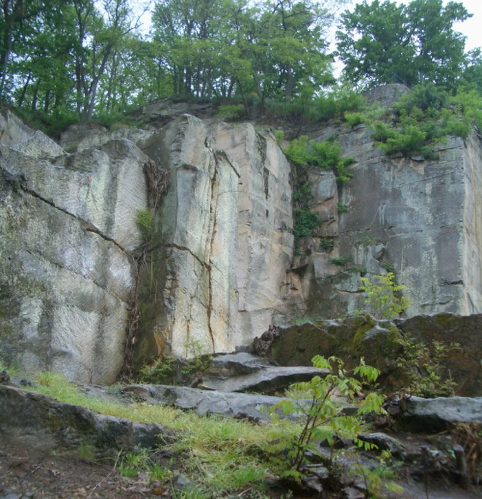
The Kriemhildenstuhl lies left of the small river of the Isenach northwest of Bad Dürkheim at a height of 250 metres above sea level on the southeastern hillside of the 300-metre-high Kästenberg [1]. Archaeological excavations were carried out in 1884, 1893/94, 1916/17, 1934/35 and 1937–1939 [1]. Quarrying was undertaken using several working parties, so-called Arbeitsköpfe [1]. Individual Arbeitsköpfe were 25 metres above the next level below [1].
Text: Wikipedia – 'Kriemhildenstuhl' (revision of 2026-03-23), CC BY-SA 4.0 · sentences selected and shortened by an AI system · source →Kriemhildenstuhl
Also known as: Brunhildisstuhl, Krimhildenstuhl, Seĝo de Kriemhild
| Type | Mine/quarry |
|---|---|
| Period | 1 - 500 AD |
| Country | Germany |
| Coordinates | 49.4639° N, 8.1586° E |