
 Germany
The Danubian Limes (Donaulimes) refers to the Roman military frontier along the River Danube, stretching across modern Bavaria, Austria, Slovakia, Hungary, Croatia, Serbia, Bulgaria, and Romania. Established in the 1st century CE and maintained until the 5th century, the frontier comprised legionary camps, auxiliary forts, and watchtowers, with key sites including Carnuntum, Vindobona (Vienna), and Lauriacum. The river served as both a demarcation line against peoples to the north and a fortified transport corridor. In 2021, the western segment was inscribed as a UNESCO World Heritage Site as part of the Frontiers of the Roman Empire series.
Danubian Limes
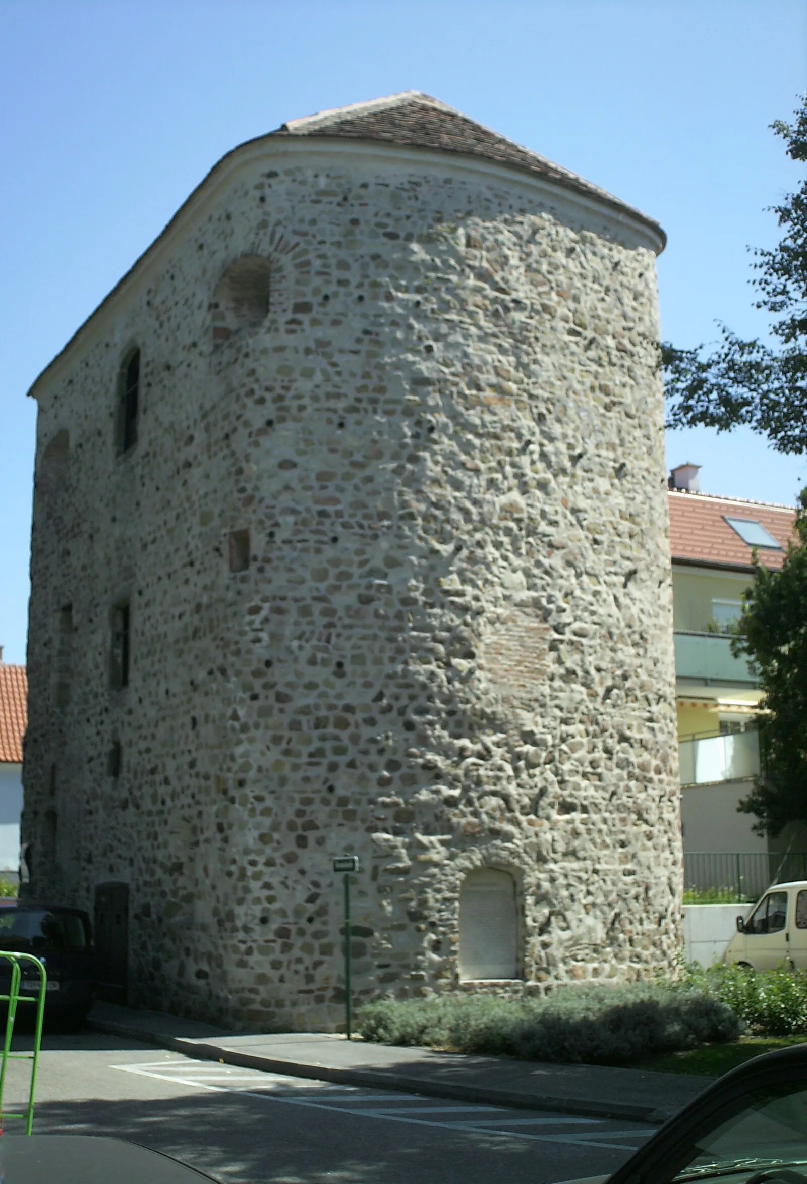
Also known as: Biên thành Danube, Danubioko Limesa, Donaulimes, donavski limes, Dunai limes, Dunajský limes, Dunavski limes, Fruntieri Rumani tad-Danubju, Limes Danubiano, limes danubien, Limes Danubii, limes danubio
| Type | Earthwork |
|---|---|
| Period | 1 - 500 AD |
| Country | Germany |
| Coordinates | 48.7818° N, 11.5624° E |