
 England
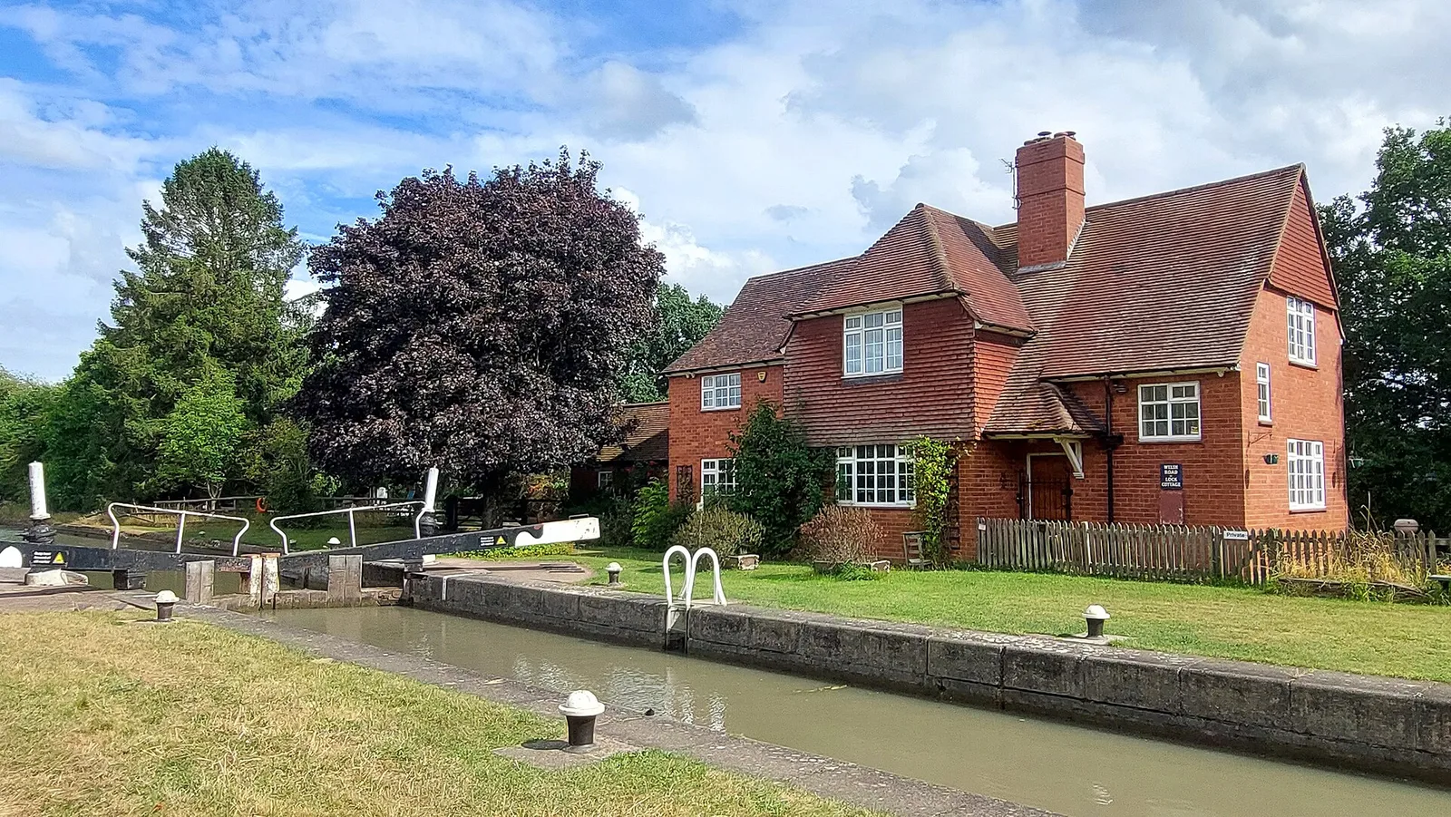
The Welsh Road, also known as the Welshman's Road or the Bullock Road, was a drover's road running through the English Midlands, used for transporting cattle from North Wales to the markets of South East England [1]. Drovers and their herds would follow the line of Watling Street from Shrewsbury and over Cannock Chase to Brownhills, from where the Welsh Road ran through Stonnall, Castle Bromwich, Stonebridge, Kenilworth, Cubbington, Offchurch, Southam, Priors Hardwick, Boddington, Culworth, Sulgrave, Syresham, Biddlesden, and Buckingham [1]. The age of the route is not known [1]. The parish records of Helmdon record money being given in 1687 "to a poor Welshman who fell sick on his journey driving beasts to London", but many lengths of the road coincide with parish or manorial boundaries, suggesting that it probably formed an ancient trackway dating to the pre-Roman era [1]. The northern section of the route from Brownhills to Stonebridge was made a turnpike by the Broughton, Chester and Stonebridge Turnpike Trust in 1759 [1].
Text: Wikipedia – 'Welsh Road' (revision of 2024-07-10), CC BY-SA 4.0 · sentences selected and shortened by an AI system · source →Welsh Road
| Type | Road/avenue/trackway |
|---|---|
| Period | 500 BC - 1 AD |
| Country | England |
| Coordinates | 52.7082° N, 2.7539° W |