
 England
Bury Ditches is a British Iron Age hill fort between Clun and Bishop's Castle in the Shropshire Hills of central England [1]. Storms in the 1970s and 1980s led to the removal of woodland from the hill fort site on the crown of the hill [1]. Bury Ditches is often rated as a spectacular example of a surviving hill fort as it forms a neat oval or elliptical shape and is situated on the crown of a hill called Sunnyhill and comprises up to four multi-vallate ditches and rampart banks as part of its defensive earthworks and two well preserved entrance ways [1].
Text: Wikipedia – 'Bury Ditches' (revision of 2026-08-06), CC BY-SA 4.0 · sentences selected and shortened by an AI system · source →Bury Ditches
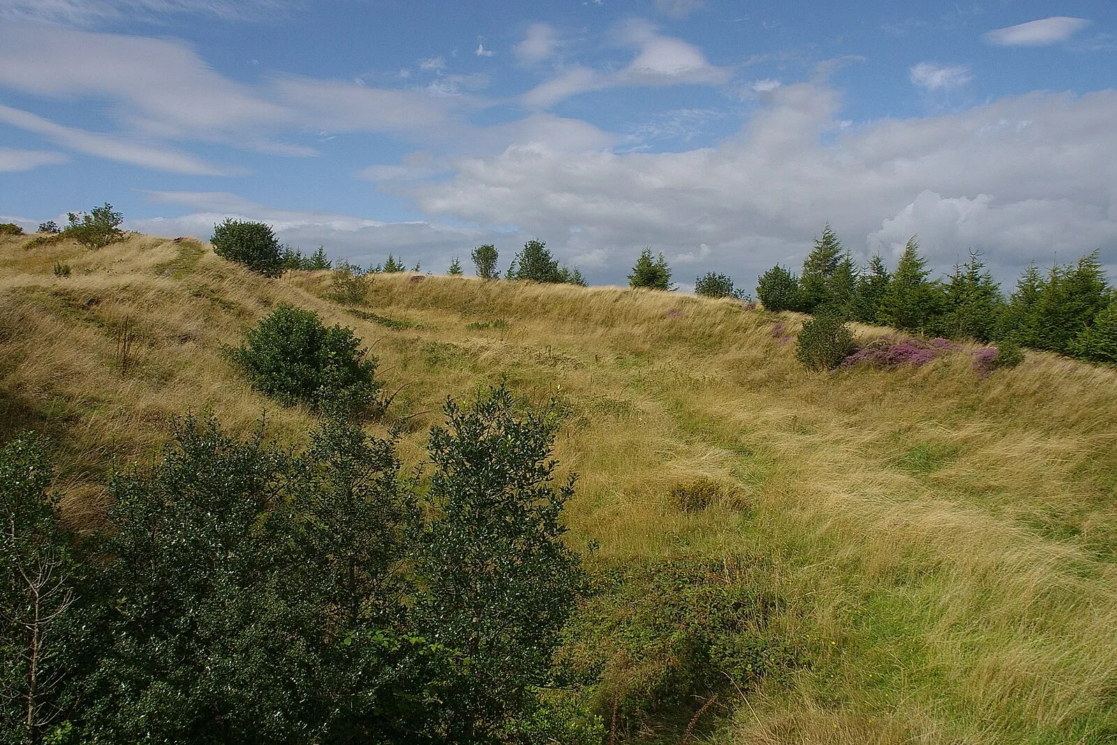
Also known as: Bury Ditches, a small multivallate hillfort on the summit of Sunnyhill
| Type | Fortress/citadel |
|---|---|
| Period | 500 BC - 1 AD |
| Country | England |
| Coordinates | 52.4471° N, 2.9908° W |