
 England
Caer Caradoc (Welsh: Caer Caradog, the fort of Caradog) is a hill in the English county of Shropshire [1]. Caer Caradoc rises sharply out of a narrow valley known as the Stretton Gap [1]. It is the highest point on a high, narrow, northeast–southwest "whaleback ridge", sometimes called a hogsback ridge [1]. The summit has an Ancient British Iron Age or late Bronze Age hill fort [1]. It is this which the hill is named after – Caer Caradog in Welsh meaning Caradog's fort [1].
Text: Wikipedia – 'Caer Caradoc' (revision of 2026-05-21), CC BY-SA 4.0 · sentences selected and shortened by an AI system · source →Caer Caradoc
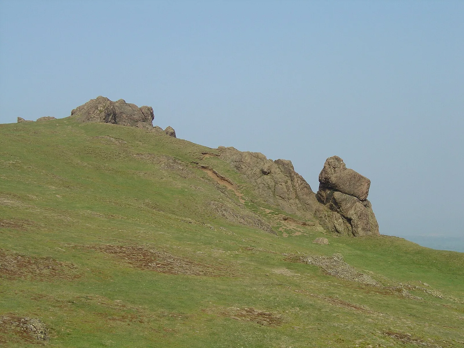
Also known as: Caer Caradoc Hill, Colina de Caer Caradoc en el condado ingles de Shropshire, جبل كاير كارادوك
| Type | Fort |
|---|---|
| Period | 1500 - 500 BC |
| Country | England |
| Coordinates | 52.5531° N, 2.7728° W |