
 England
Coxall Knoll is a hill lying on the boundary of Shropshire and Herefordshire, England; it is near Bucknell in Shropshire and Buckton and Coxall in Herefordshire [1]. On the summit is an Iron Age hillfort, a scheduled monument [1]. The height of the hill is 262 metres and it has a prominence of 120 metres [1]. The hillfort on the summit is roughly oval in shape, measuring about 570 metres west to east and 200 metres north to south [1]. There are earthen banks following the contours of the hill; the slopes below have been made steeper by the builders of the fort [1]. The main enclosure, with three banks and ditches to the north, has an area of about 3 hectares [1]. Adjoining is a roughly triangular eastern enclosure with an area of about 1.8 hectares, and an enclosure to the north of this with an area of about 0.7 hectares [1].
Text: Wikipedia – 'Coxall Knoll' (revision of 2026-07-18), CC BY-SA 4.0 · sentences selected and shortened by an AI system · source →Coxall Knoll
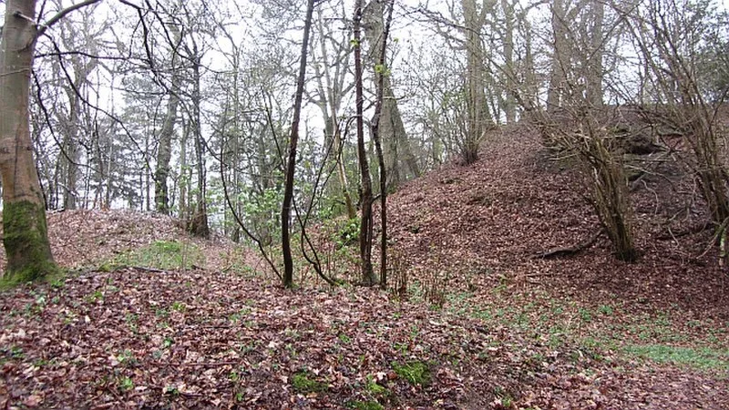
Also known as: Coxall Knoll Camp, Multiple enclosure hillfort on Coxall Knoll
| Type | Fortress/citadel |
|---|---|
| Period | 1500 - 500 BC |
| Country | England |
| Coordinates | 52.3555° N, 2.9334° W |