
 England
Bury Walls is an Iron Age hillfort about 1 mile south-east of Weston-under-Redcastle, in Shropshire [1]. The fort is on a promontory facing south-west, part of the southern escarpment of a sandstone ridge [1]. The enclosure is about 520 metres north to south and 380 metres east to west; the area within is about 8 hectares [1]. There are steep slopes on all sides except the north, where there are two massive ramparts and ditches, the inner rampart being about 7.8 metres above the interior [1]. Elsewhere there is a single rampart around the edge of the promontory, about 3.0 metres along the east side and up to 1.8 metres along the west side [1]. In 1930 there was some excavation of the site by E. W. Bowcock [1]. Near the centre of the interior, foundations of a building were discovered, thought at the time to be medieval, but more recently thought to be the remains of a Romano-Celtic temple [1].
Text: Wikipedia – 'Bury Walls' (revision of 2026-07-18), CC BY-SA 4.0 · sentences selected and shortened by an AI system · source →Bury Walls
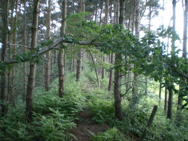
Also known as: Bury Walls: a large multivallate hillfort
| Type | Fortress/citadel |
|---|---|
| Period | 1500 - 500 BC |
| Country | England |
| Coordinates | 52.8429° N, 2.6287° W |