
 England
Wat's Dyke is a 40-mile (64 km) linear earthwork running through the northern Welsh Marches from Basingwerk Abbey on the River Dee estuary, passing east of Oswestry and on to Maesbury in Shropshire, England [1]. It runs generally parallel to Offa's Dyke, sometimes within a few yards but never more than three miles (5 km) away [1]. It now appears insignificant and is visible in some places as a raised hedgerow and in others no more than a cropmark [1]. The ditch has long since been filled in and the bank ploughed away, but originally it was a considerable construction, considered to be strategically more sophisticated than Offa's Dyke [1]. The date of construction is disputed, ranging from sub-Roman to the early ninth century [1]. The placement of the dyke in the terrain also shows that care was taken to provide clear views to the west and to use local features to the best defensive advantage [1]. A section of the dyke extends north and south from Old Oswestry, an Iron Age hill fort [1].
Text: Wikipedia – 'Wat's Dyke' (revision of 2026-07-02), CC BY-SA 4.0 · sentences selected and shortened by an AI system · source →Wat's Dyke
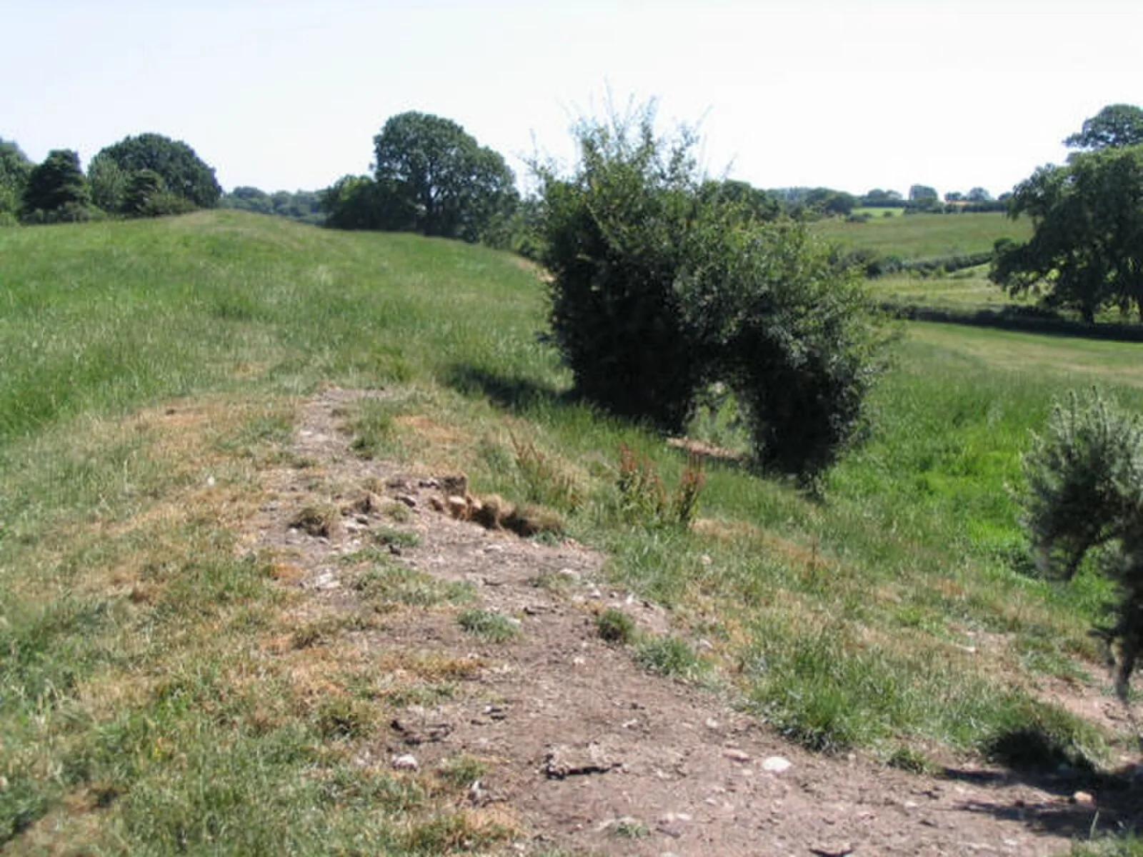
Also known as: Clawdd Wat, Digue de Wat, Muro de Wat, Vallo di Wat, Wats dike, Wat's Dyk
| Type | Earthwork |
|---|---|
| Period | 500 - 1000 AD |
| Country | England |
| Coordinates | 52.9868° N, 3.0286° W |