
 England
The Birkrigg stone circle is a Bronze Age stone circle on Birkrigg Common, two miles south of Ulverston in the English county of Cumbria [1]. The circle consists of two rings of stones, the inner being 8.5 m wide and consisting of 12 stones varying between 0.3 m and 0.9 m tall and the outer measuring 26 m and consisting of 20 smaller stones [1]. Limited excavation within the inner circle in 1911 found an upper and lower pavement of cobbles [1]. Below the lower layer of cobbles five cremations were uncovered, three in pits, one on a layer of cobbles and one covered by an inverted urn [1]. A second excavation in 1921 produced a few small stone implements which the excavator thought might be a pestle, a palate and a piece of red ochre, and which might therefore have had a ceremonial use [1].
Text: Wikipedia – 'Birkrigg stone circle' (revision of 2026-07-19), CC BY-SA 4.0 · sentences selected and shortened by an AI system · source →Birkrigg Stone Circle
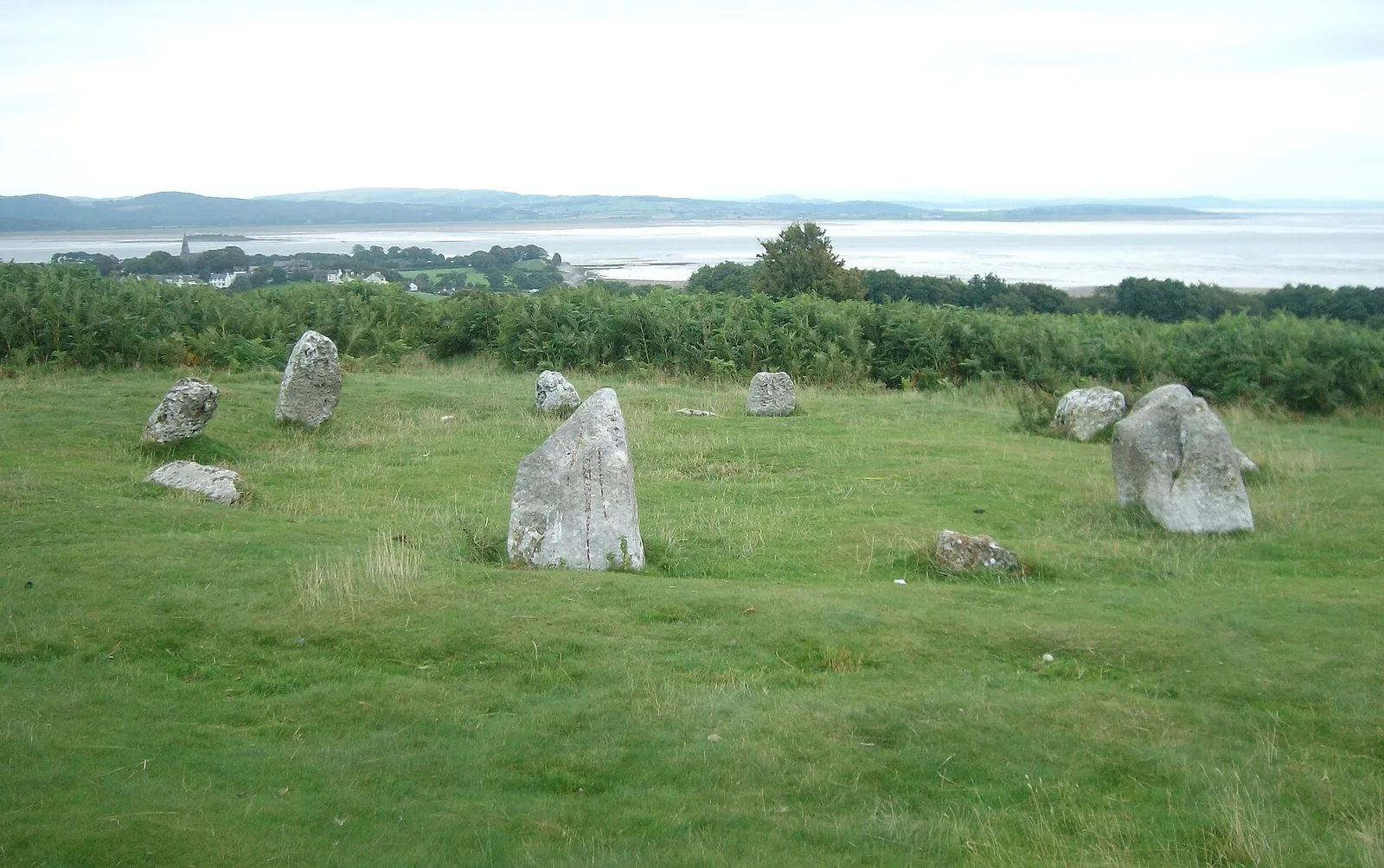
Also known as: Concentric stone circle on Birkrigg Common, Druid’s Circle, Druid’s Circle (Cumbria)
| Type | Stone circle |
|---|---|
| Period | 3000 - 1500 BC |
| Country | England |
| Coordinates | 54.1566° N, 3.0848° W |