
 England
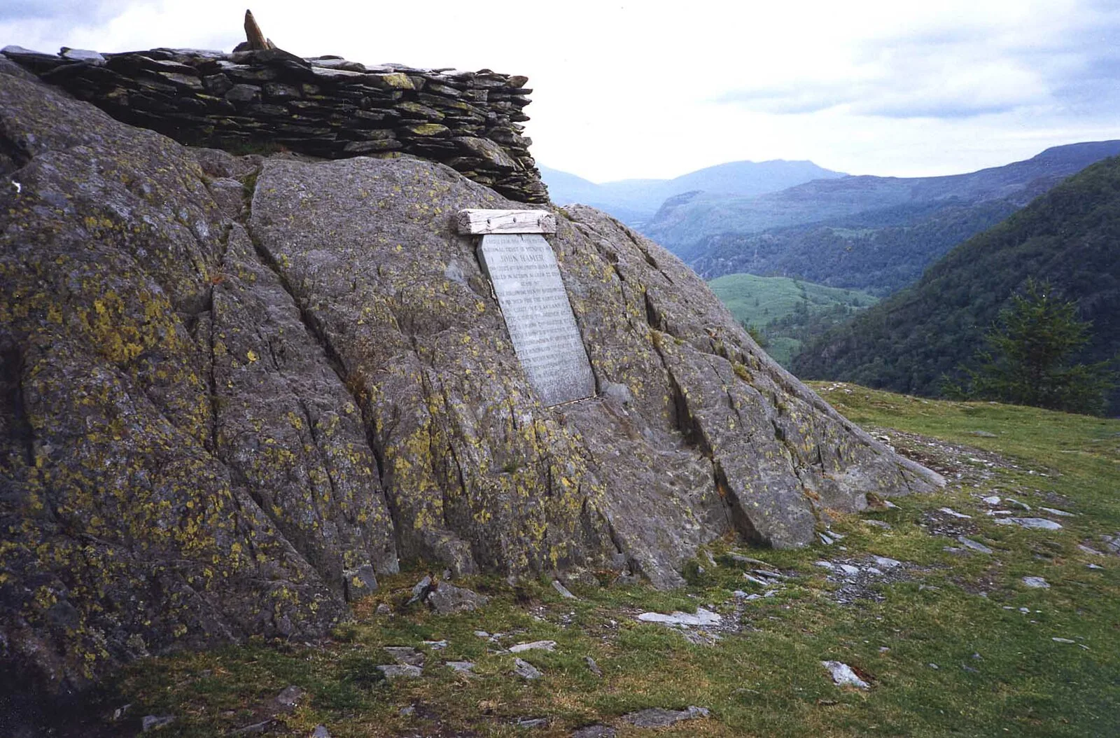
Castle Crag is a hill in the North Western Fells of the English Lake District [1]. The wooded height of Castle Crag rises between Broadslack Gill and the Derwent [1]. The slopes of Castle Crag are extensively quarried with pits and levels on the northern and south eastern flanks [1]. The summit has also been extensively worked [1]. The summit area is believed to have been an ancient hill fort, although the western section has been sliced away by quarrying [1].
Text: Wikipedia – 'Castle Crag' (revision of 2026-08-10), CC BY-SA 4.0 · sentences selected and shortened by an AI system · source →Castle Crag
Also known as: جبل كاستل كراج (المملكه المتحده)
| Type | Fort |
|---|---|
| Period | 1500 - 500 BC |
| Country | England |
| Coordinates | 54.5329° N, 3.1620° W |