
 England
The Burnmoor Stone Circles are a group of five different approximately 4,000-year-old stone circles in Cumbria [1]. They are around 1 mile north of the village of Boot, on the slopes of Boat How [1]. The largest circle is known as Brat's Hill and there are two nearby pairs of circles known as White Moss and Low Longrigg [1]. Brat's Hill is the largest stone circle with around 42 stones forming an irregular circle with a diameter of 30 metres [1]. There are five funerary cairns within the circle together with two further stones [1]. About 100 metres to the northwest of Brat's Hill circle lie the two White Moss stone circles [1]. One of them measures 16 metres in diameter and has 11 stones forming the circle, while the other measures 16.5 metres in diameter and has 14 stones forming the circle [1]. Both stone circles have internal cairns [1].
Text: Wikipedia – 'Burnmoor stone circles' (revision of 2026-07-18), CC BY-SA 4.0 · sentences selected and shortened by an AI system · source →Burnmoor Stone Circles
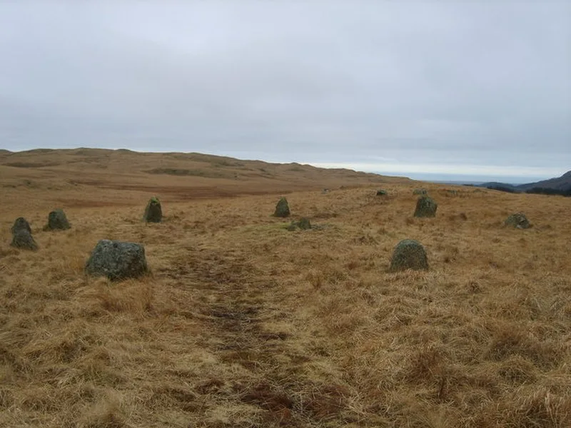
Also known as: Cairnfield including a prehistoric enclosure, 5 stone circles, 10 funerary cairns, 6 stone banks, 2 stone walls, a lynchet and a, Steinkreise im Burnmoor
| Type | Stone circle |
|---|---|
| Period | 3000 - 1500 BC |
| Country | England |
| Coordinates | 54.4093° N, 3.2743° W |