
 Germany
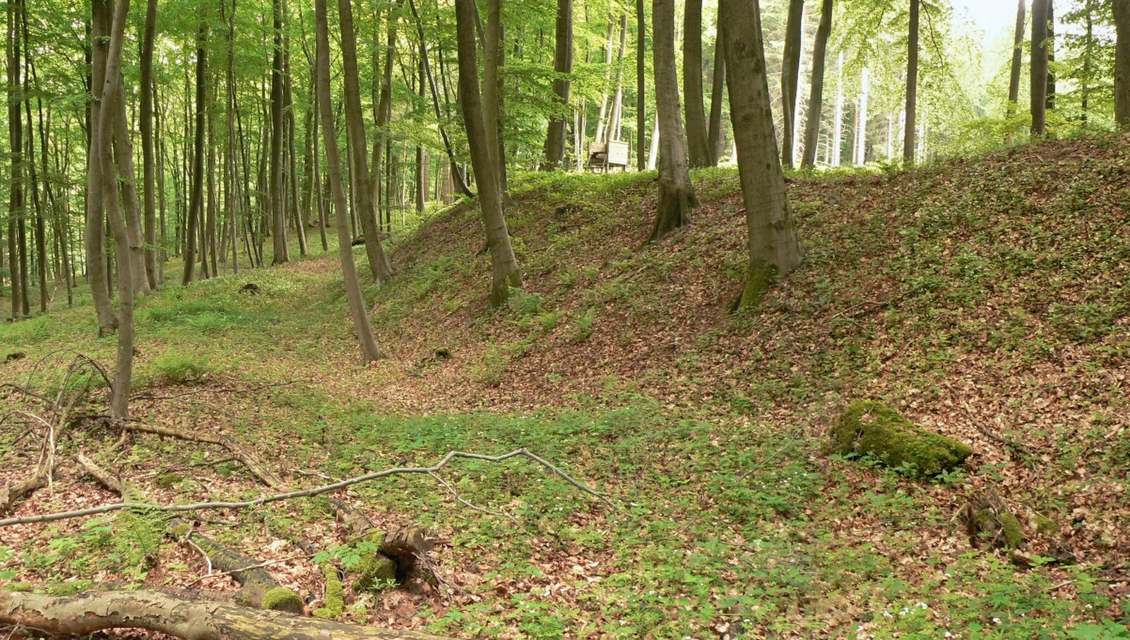
The Amelungsburg is a former ringfort that is located on the Amelungsberg hill on the Süntel ridge in the district of Hameln-Pyrmont in the German state of Lower Saxony [1]. The site is around 15 hectares and lies on the plateau of Amelungsberg, which is 900 metres long and 300 metres wide [1]. The fortifications comprise a rampart on two sides of the terrain with a length of around 1000 metres [1]. In 1954, 1955, and 2005, excavations took place on the terrain [1]. These established that in the embankment was a dry stone wall about 3 metres wide and up to 2.5 metres high [1]. Based on excavations, the fortifications were originally built in the pre-Roman Iron Age, archaeologists reckoning a construction time of up to six weeks [1]. The site was extended during a second phase of use during the Saxon Wars [1].
Text: Wikipedia – 'Amelungsburg (Süntel)' (revision of 2026-06-08), CC BY-SA 4.0 · sentences selected and shortened by an AI system · source →Amelungsburg, Süntel
Also known as: Amelungsburg, Amelungsburg (Süntel)
| Type | Fortification |
|---|---|
| Period | 500 BC - 1 AD |
| Country | Germany |
| Coordinates | 52.2009° N, 9.2697° E |