
 Germany
The Danube-Iller-Rhine Limes (DIRL) was a large-scale Late Roman defensive system built after the abandonment of the Upper Germanic-Rhaetian Limes in the late 3rd century CE. Triggered by Alamannic raids around the mid-3rd century, systematic construction of the new frontier began c. 290 CE along the rivers Rhine, Iller, and Danube. The system comprised numerous small fortresses designed not to repel major invasions but to maintain continuous border surveillance and deter raiding parties. In its broader sense, the DIRL extended from Lake Constance along the High Rhine to Basel and the Upper Danube, forming one of the Roman Empire's most extensive late frontier networks.
Danube - Iller - Rhine Limes
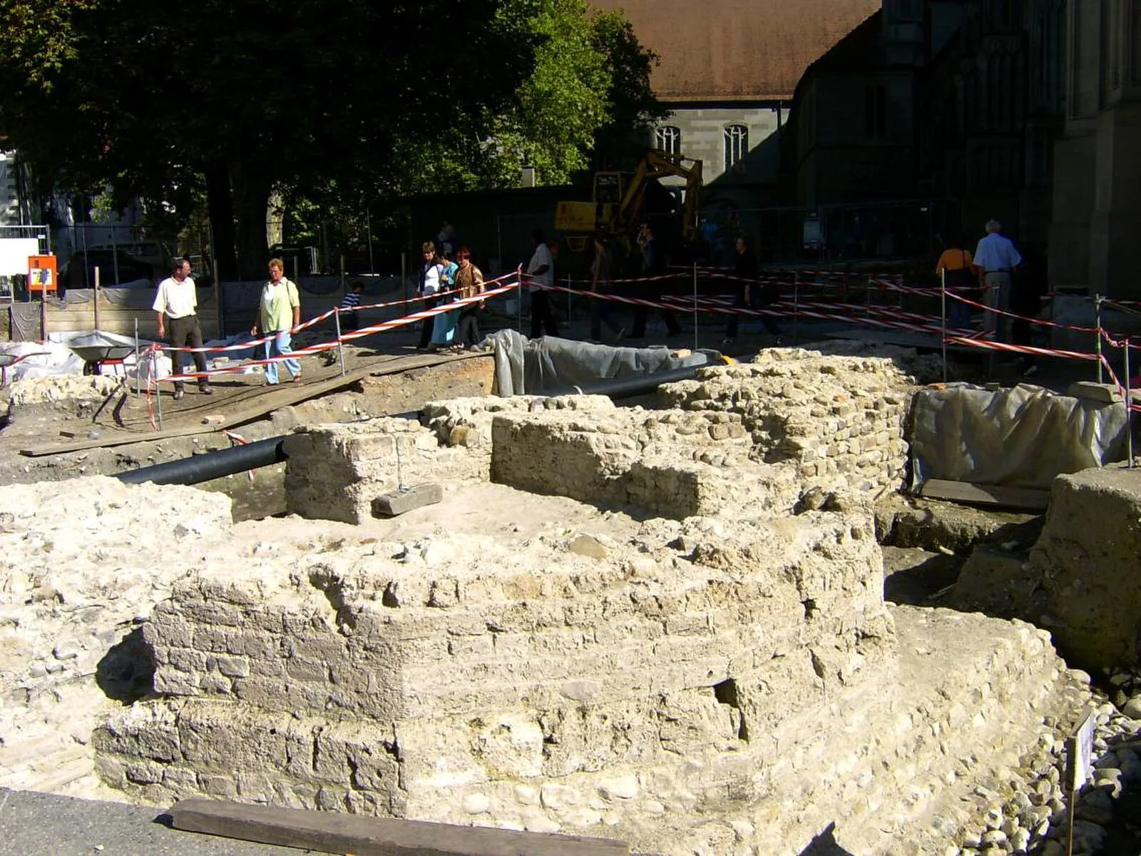
Also known as: Danube–Iller–Rhine Limes, Donau-Iller-Rhein-Limes, Limes Danube-Iller-Rhin, Rheinlimes, Дунай-Иллер-Рейнский лимес, Дунай-Іллер-Рейнський лімес
| Type | Earthwork |
|---|---|
| Period | 1 - 500 AD |
| Country | Germany |
| Coordinates | 47.6804° N, 8.6161° E |