
 England
Maryport lies approximately 5 miles north-west of the Lake District National Park [1]. It includes the site of the Roman settlement of Alauna [1]. Evidence for Final Palaeolithic and Mesolithic occupation was found at Netherhall Road [1]. The town was established around 122 AD as one of several Roman localities called Alauna [1]. It was a command and supply base for the coastal defences at the western extremity of Hadrian's Wall [1]. The town contains substantial remains of the Roman fort, which was the last in a series that stretched southwards along the coast from the wall to prevent it being avoided by crossing the Solway Firth [1]. Geomagnetic surveys have revealed a large Roman town surrounding the fort [1].
Text: Wikipedia – 'Maryport' (revision of 2026-09-03), CC BY-SA 4.0 · sentences selected and shortened by an AI system · source →Maryport
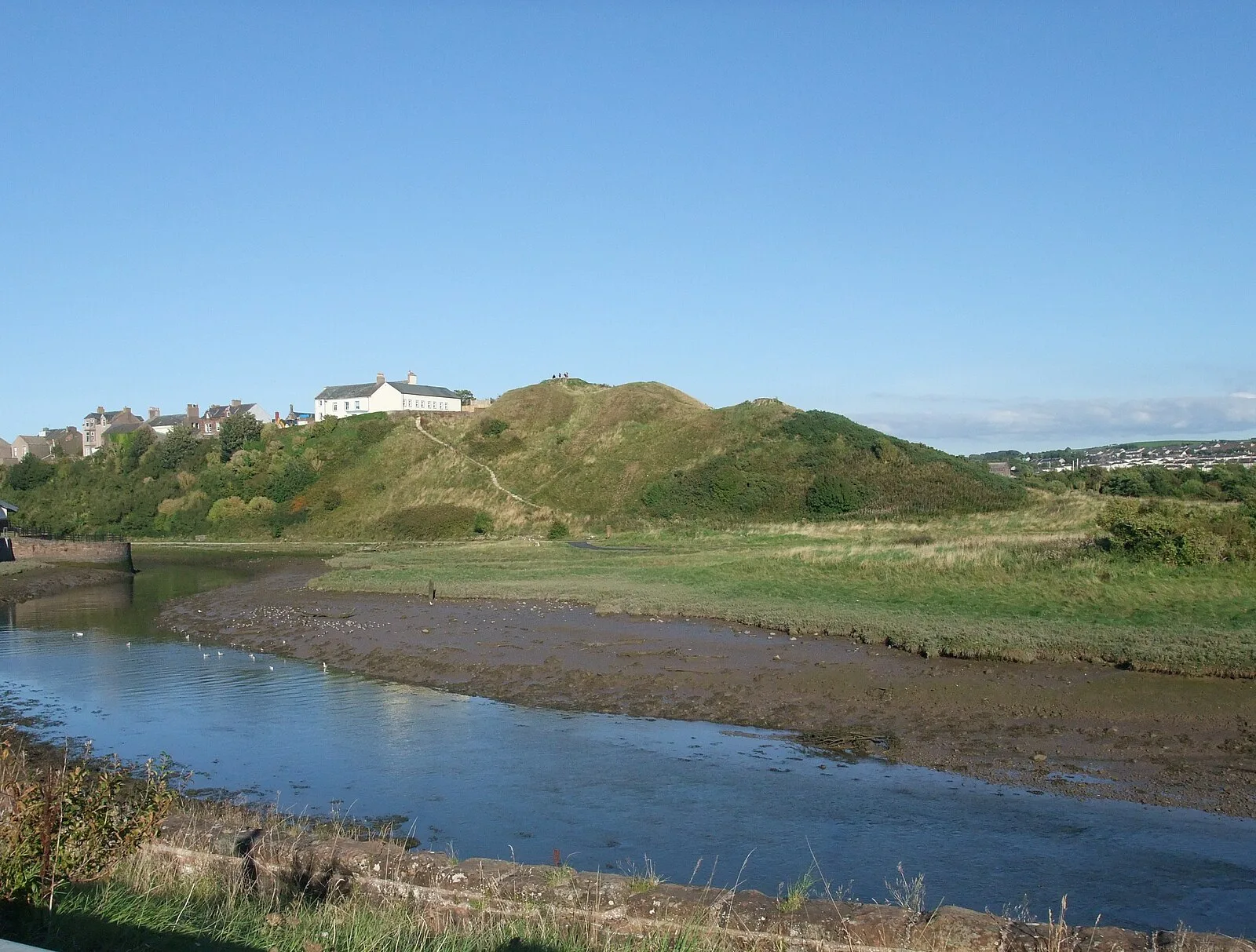
Also known as: 메리포트, Mariportas, Maryport (lungsod), Мерипорт, Мэрипорт, ماریپورت, میری پورٹ, ম্যারিপোর্ট, મેરીપોર્ટ, மரிபோர்ட், మేరీపోర్ట్, ಮೇರಿಪೋರ್ಟ್
| Type | City/town/settlement |
|---|---|
| Period | 1 - 500 AD |
| Country | England |
| Coordinates | 54.7129° N, 3.4927° W |