
 England
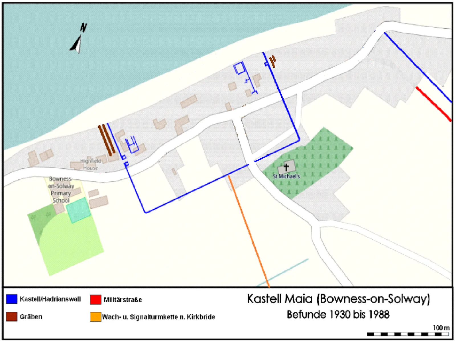
Maia, or Mais, in Cumbria, England was a Roman fort on Hadrian's Wall, and was the last fort at the western end of the Wall, overlooking the Solway Firth [1]. The fort was the second largest fort on Hadrian's Wall [1]. The fort stood on a sea-cliff over 50 feet high, rising steeply from the shore, and commanding lower ground in all directions [1]. The fort was originally built with a turf and clay rampart, similar to the Turf Wall in that area, but when the Wall was rebuilt in stone, the fort was also rebuilt in stone [1]. Little is known of the garrison, but its third-century commander was a tribune, indicating that it was probably a thousand-strong cohort of infantry, perhaps part-mounted [1]. When the site was excavated in 1930, the southern rampart was uncovered and the west gate was located [1]. In 1973 more extensive excavations were carried out, and traces of the original turf and clay western rampart were found, as well as evidence of a timber gate-tower [1].
Text: Wikipedia – 'Mais (Bowness)' (revision of 2026-08-21), CC BY-SA 4.0 · sentences selected and shortened by an AI system · source →Mais, Bowness
Also known as: fort romain de Maia, Kastell Maia, Maia, Maia (Bowness), Maia (castrum), Maia Roman Fort, Maio, Mais, Mais (Bowness), Mais Roman Fort
| Type | Fortress/citadel |
|---|---|
| Period | 1 - 500 AD |
| Country | England |
| Coordinates | 54.9511° N, 3.2119° W |