
 England
Coggabata, or Congavata / Concavata, was a Roman fort on Hadrian's Wall, between Aballava to the east and Mais to the west [1]. It was built on a hill commanding views over the flatter land to the east and west and to the shore of the Solway Firth to the north [1]. Its purpose was to guard the southern end of two important Solway fords, the Stonewath and the Sandwath [1]. The fort was an oblong and built of stone, with the Wall running along its northern side, and measured 270 feet north to south by 316 feet east to west, occupying an area of just less than 2 acres [1]. A Roman road has been proved by LIDAR photography to have linked Coggabata with the nearby Roman fort at Kirkbride to the south-west [1]. The Notitia Dignitatum gives the garrison as the Second Cohort of Lingones but only a detachment could be accommodated in such a small fort [1]. Excavations in 1947 revealed that the stone fort had been built within a slightly larger fort whose clay ramparts had been levelled [1].
Text: Wikipedia – 'Coggabata' (revision of 2026-08-21), CC BY-SA 4.0 · sentences selected and shortened by an AI system · source →Coggabata
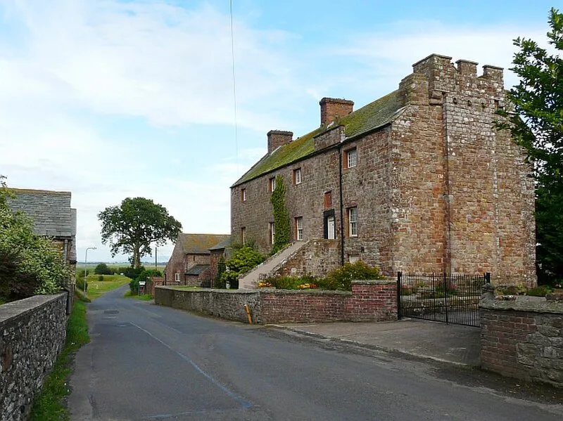
Also known as: Concanata, Concavata, Congavata, Drumburgh Roman Fort, Kastell Drumburgh, コンガヴァータ
| Type | Fortress/citadel |
|---|---|
| Period | 1500 - 500 BC |
| Country | England |
| Coordinates | 54.9271° N, 3.1480° W |