
 England
Alauna was a castrum or fort in the Roman province of Britannia [1]. It occupied a coastal site just north of the town of Maryport in the English county of Cumbria (formerly part of Cumberland) [1]. It was linked by a Roman road to the Roman fort and settlement at Derventio to the southeast [1]. Alauna is a river name and the Roman fort stands on a hill north of the River Ellen [1]. The fort was established during the reign of the emperor Hadrian around AD 122 as a command and supply base for the coastal defences of Hadrian's Wall at its western extremity [1]. There are substantial remains of the Roman fort, which was one of a series along the Cumbrian coast intended to prevent Hadrian's Wall being outflanked by crossing the Solway Firth [1]. Geo-magnetic surveys have revealed a large Roman town surrounding the fort [1]. The site has yielded more altars than any other in Britain, and the finds have been made over a long period of time [1].
Text: Wikipedia – 'Alauna (Maryport)' (revision of 2026-09-01), CC BY-SA 4.0 · sentences selected and shortened by an AI system · source →Alauna, Maryport
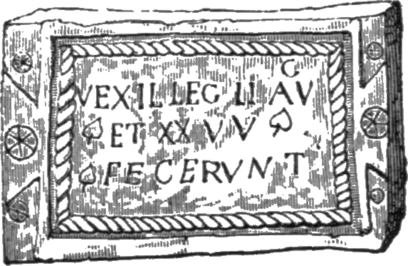
Also known as: Alauna, Alauna Carvetiorum, Alauna Fort, Alauna (Maryport), Alauna Roman Fort, Alione, Kastell Alauna, Kastell Maryport, Maryport (Alavna) Roman fort, part of the Roman frontier defences along the Cumbrian coast, its associated vicus and a length of Roman road
| Type | Fortress/citadel |
|---|---|
| Period | 1 - 500 AD |
| Country | England |
| Coordinates | 54.7211° N, 3.4940° W |