
 England
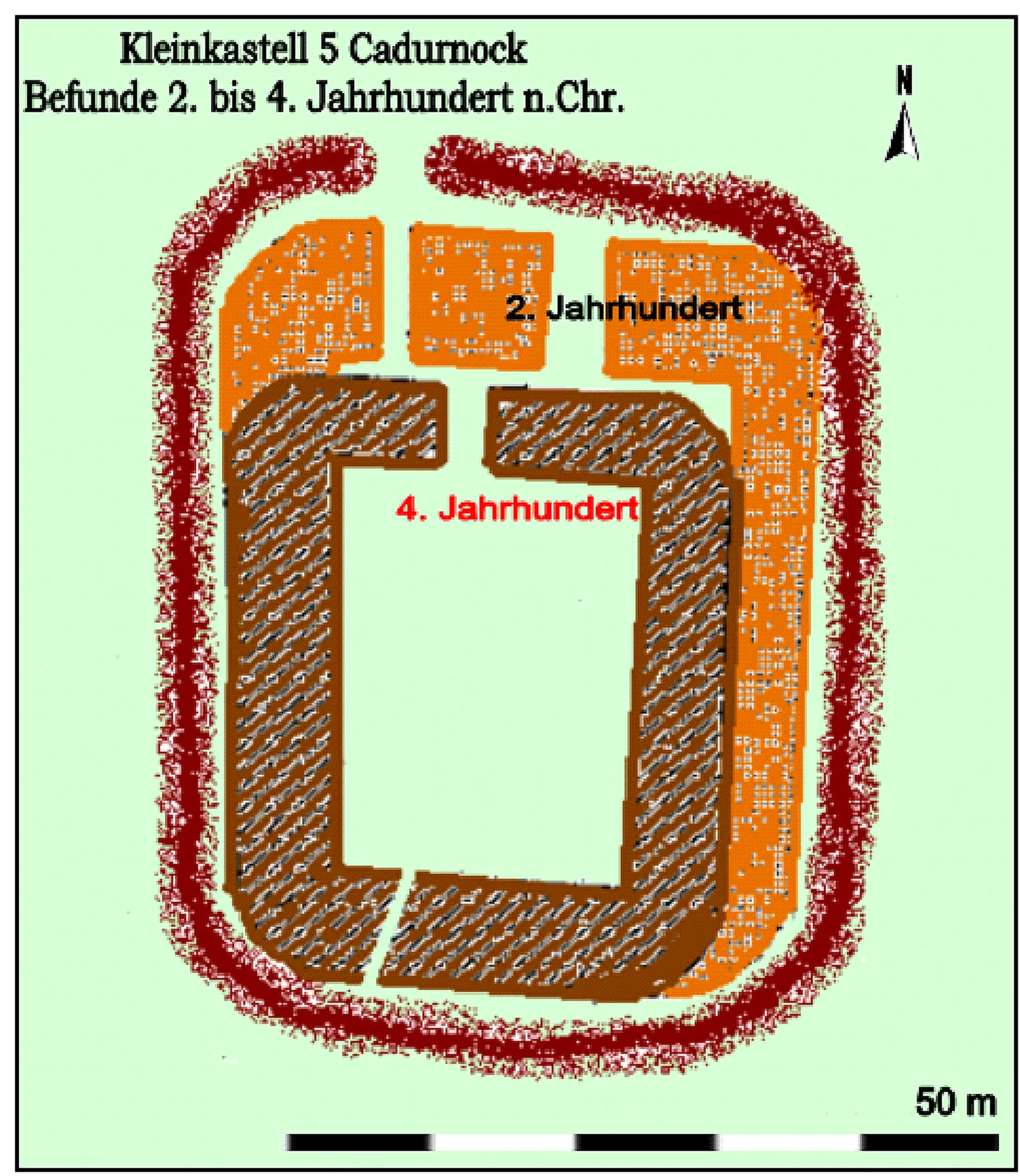
Cardurnock is a Roman-era coastal settlement in Cumbria, England, situated 20 km west of Carlisle [1]. The western extension of Hadrian's Wall frontier defences once traversed the Cardurnock peninsula, though the Wall itself did not reach this far west [1]. Archaeological investigations have identified the sites of two small Roman fortlets—Milefortlet 4 and Milefortlet 5—located to the north and south of the settlement [1]. These structures formed part of the coastal defence network protecting the western approaches during the Roman period (2nd–5th centuries AD) [1]. The settlement lies adjacent to the Anthorn Radio Station [1].
Cardurnock
Also known as: Cardurnock, Cumbria
| Type | City/town/settlement |
|---|---|
| Period | 1 - 500 AD |
| Country | England |
| Coordinates | 54.9101° N, 3.2900° W |