
 England
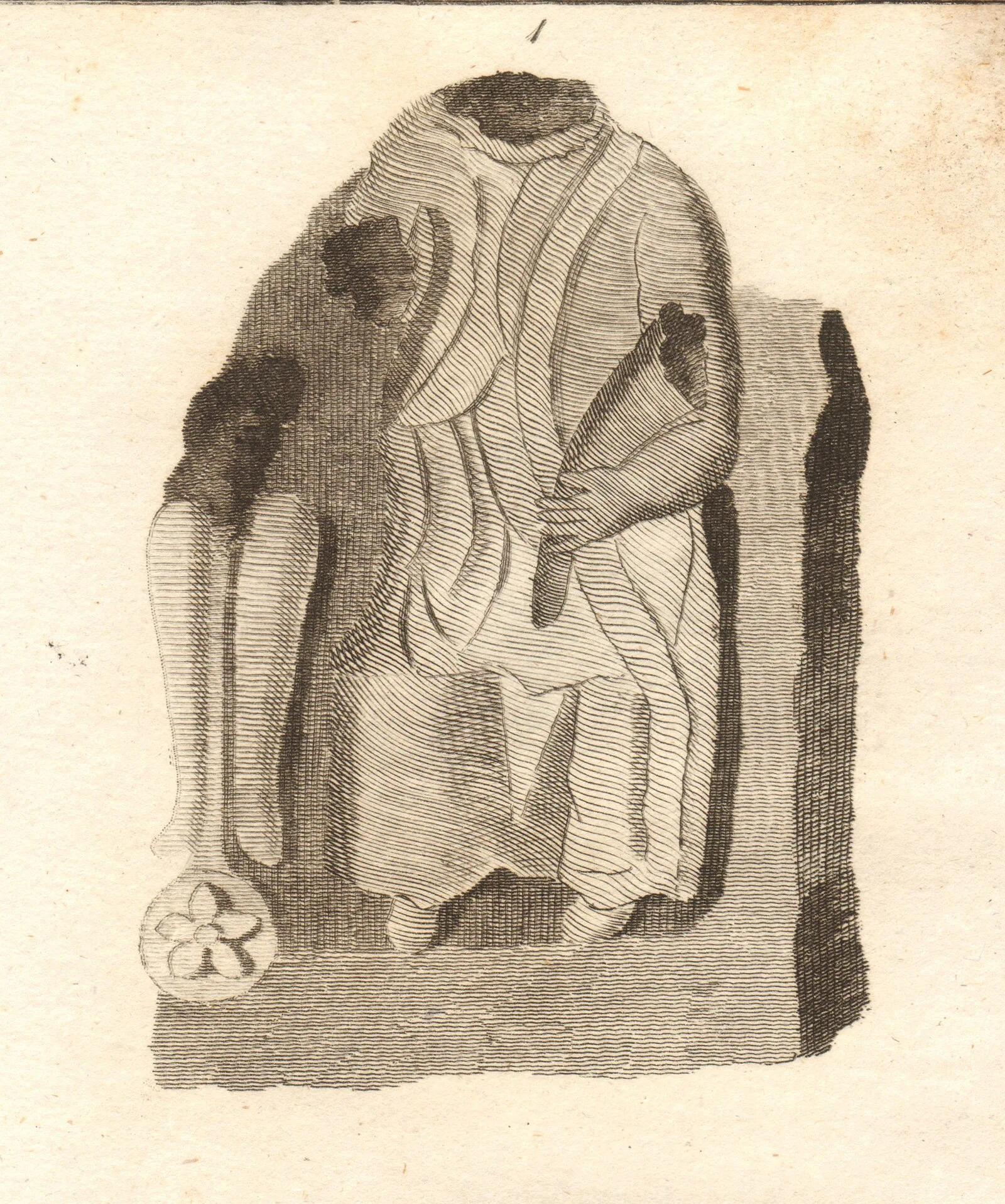
Camboglanna was a Roman fort [1]. It was the twelfth fort on Hadrian's Wall counting from the east, between Banna almost 7 miles to the east and Uxelodunum, 9 miles to the west [1]. It was on a high bluff commanding the Cambeck Valley [1]. It guarded an important approach to the Wall and also watched the east bank of the Cambeck against raiders from the Bewcastle area [1]. The site was drastically levelled in 1791 when the gardens of Castlesteads House were laid over it [1]. The fort was approximately square, measuring about 400 by 400 feet and covering approximately 3.75 acres [1]. The 2nd-century garrison was the Cohors IV Gallorum equitata [1]. Several altars have been found at the site and have been preserved [1].
Text: Wikipedia – 'Camboglanna' (revision of 2026-08-21), CC BY-SA 4.0 · sentences selected and shortened by an AI system · source →Camboglanna
Also known as: Castlesteads
| Type | Fortress/citadel |
|---|---|
| Period | 1 - 500 AD |
| Country | England |
| Coordinates | 54.9651° N, 2.7609° W |