
 England
Caesar's Camp is an Iron Age hill fort around 2,400 years old [1]. It is located just in Crowthorne civil parish to the south of Bracknell in the English county of Berkshire [1]. The hill fort covers an area of about 17.2 acres (7 hectares) and is surrounded by a mile-long ditch, making it one of the largest in southern England [1]. Caesar's Camp is thought to have been established around 500–300BC [1]. It is the only hill fort of its type that has been identified in east Berkshire [1]. The layout consists of a number of steep banks and ditches in the shape of an oak leaf, enclosing a large flat area of a settlement [1]. The main entrance is at its northern end (at the tip of the leaf) and is very well defended with multiple banks and a sinuous entrance road [1].
Text: Wikipedia – 'Caesar's Camp, Bracknell Forest' (revision of 2025-10-24), CC BY-SA 4.0 · sentences selected and shortened by an AI system · source →Caesar's Camp, Bracknell Forest
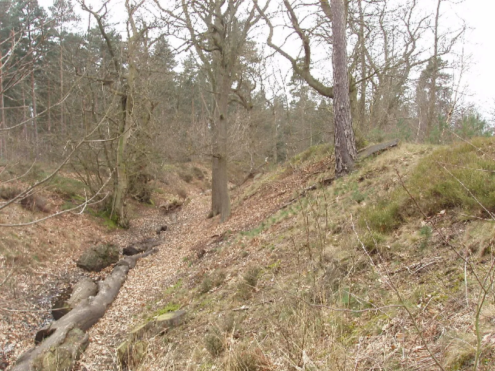
Also known as: Caesar's Camp, Caesar's Camp, Bracknell Ormanı, Caesar's Camp hillfort and the remains of a Napoleonic redoubt
| Type | Fortress/citadel |
|---|---|
| Period | 500 BC - 1 AD |
| Country | England |
| Coordinates | 51.3830° N, 0.7600° W |