
 England
Bullsdown Camp is the site of a former Iron Age plateau fort in the county of Hampshire [1]. The site is heavily wooded, and close inspection is required to observe the three bank and ditch fortifications [1]. The River Loddon lies close by to the East [1]. The site lies on a very shallow plateau at a height of 65m AOD [1].
Text: Wikipedia – 'Bullsdown Camp' (revision of 2025-03-27), CC BY-SA 4.0 · sentences selected and shortened by an AI system · source →Bullsdown Camp
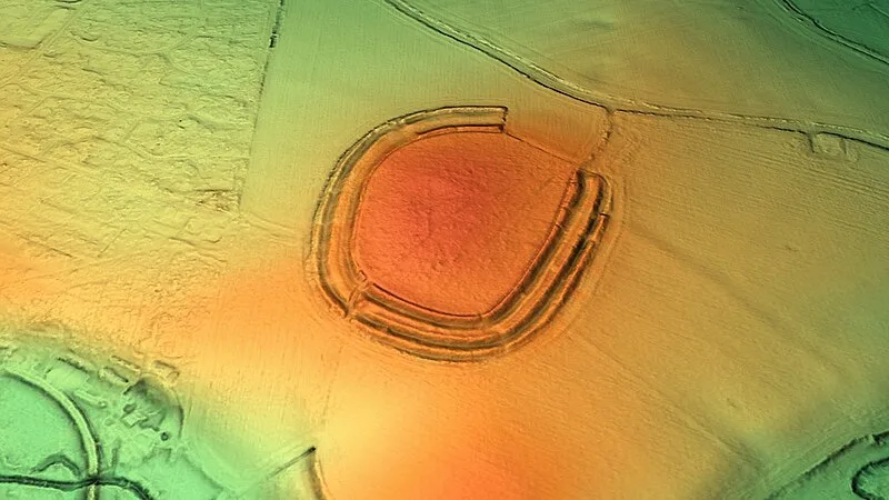
Also known as: Bullsdown, Bulls Down Camp
| Type | Fortress/citadel |
|---|---|
| Period | 1500 - 500 BC |
| Country | England |
| Coordinates | 51.3208° N, 1.0387° W |