
 England
Calleva Atrebatum was an Iron Age oppidum, the capital of the Atrebates tribe [1]. It then became a walled town in the Roman province of Britannia, at a major crossroads of the roads of southern Britain [1]. The inner earthwork, constructed c. 1 AD, enclosed 32 hectares and at a similar time others were built in the surrounds [1]. Several roundhouses, wells and pits were in a northeast–southwest alignment, dated to c. 25 BC – 15 BC [1]. After the Roman conquest of Britain in 43 AD the settlement developed into the Roman town of Calleva Atrebatum [1]. A large mansio was in Insula VIII, near the South Gate, consisting of three wings arranged around a courtyard [1]. Major buildings at the site were used c. 400–430, but evidence of occupation begins to decline sharply after AD 450 [1]. Calleva Atrebatum was first excavated by the Reverend James Joyce who, in 1866, discovered the bronze eagle known as the Silchester eagle [1].
Text: Wikipedia – 'Calleva Atrebatum' (revision of 2026-07-18), CC BY-SA 4.0 · sentences selected and shortened by an AI system · source →Calleva Atrebatum
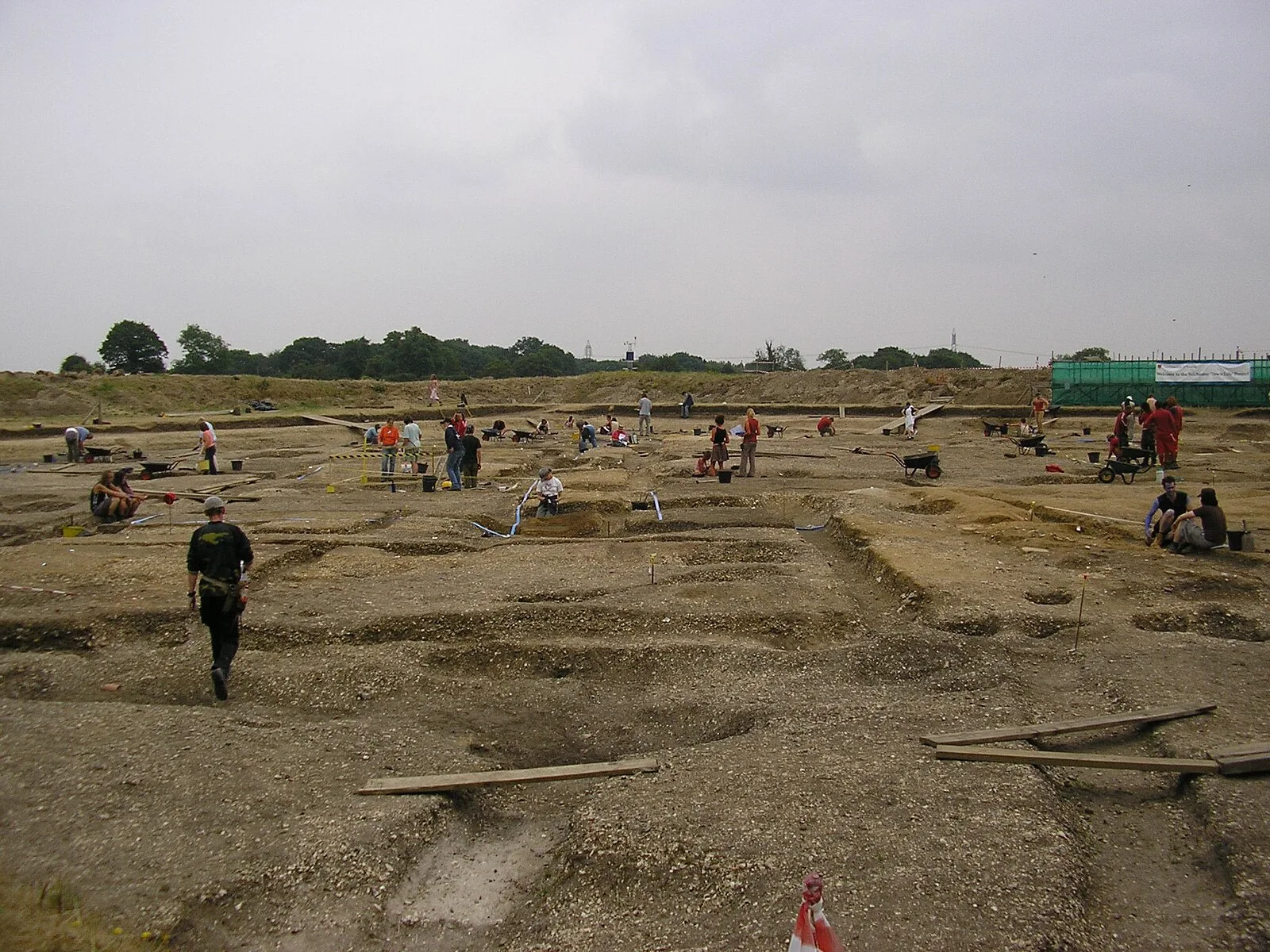
Also known as: Calleva, Silchester, Silchester città romana, Silchester Roman town, Silchester (The Inner Earthwork), Каллева, كاليفا اتريباتيم, カッレウァ・アトレバトゥム, 阿特雷巴特之都
| Type | City/town/settlement |
|---|---|
| Period | 500 BC - 1 AD |
| Country | England |
| Coordinates | 51.3573° N, 1.0826° W |