
 England
The Frith is a small univallate Iron Age hillfort to the north of Silchester, Calleva Atrebatum, Roman town in the English county of Hampshire [1]. A single bank covers all sides apart from the south east, and is at the most about 5 feet high on the western edge [1]. A ditch is also traceable for the length of the bank, although at varying states [1]. The site slopes from approximately 90 to 95 metres in the west, with the summit of the unnamed hill approximately 500 metres to the southwest [1]. Close by to the south lies a Roman road heading into Calleva Atrebatum [1]. Also nearby, 500 metres to the west, lies a further smaller unidentified enclosure [1].
Text: Wikipedia – 'The Frith' (revision of 2022-12-20), CC BY-SA 4.0 · sentences selected and shortened by an AI system · source →The Frith
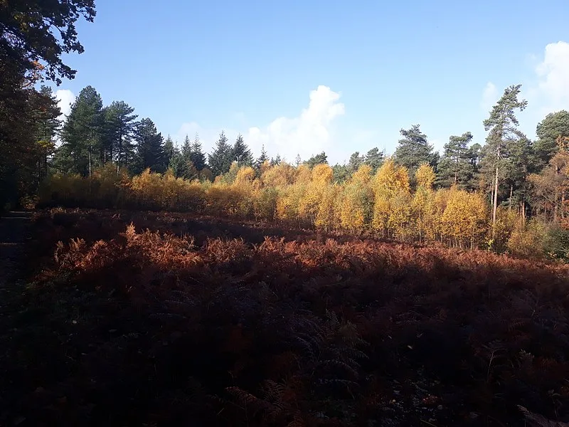
Also known as: Hillfort south west of Pond Farm, near Silchester
| Type | Fortress/citadel |
|---|---|
| Period | 1500 - 500 BC |
| Country | England |
| Coordinates | 51.3636° N, 1.1013° W |