
 England
Caesar's Camp is an Iron Age hill fort straddling the border of the counties of Surrey and Hampshire in southern England [1]. Caesar's Camp is a scheduled monument with a list entry identification number of 1007895 [1]. Caesar's Camp is a multivallate hillfort, a fort with multiple defensive rings, occupying an irregular promontory, with an entrance on the south side [1]. In its earliest form, Caesar's Camp was a univallate fort [1]. In its second phase of development, the defences were multivallate with a timber palisade [1]. Later, a bank was built over the line of the palisade, replacing it [1]. The fort is large and encloses an area of 10.5 hectares [1]. Miscellaneous finds at Caesar's Camp include a Roman roof tile, which is now held in Camberley Museum, and an early rapier dating to the Middle Bronze Age (c. 1500–1000 BC) [1].
Text: Wikipedia – 'Caesar's Camp, Rushmoor and Waverley' (revision of 2026-08-16), CC BY-SA 4.0 · sentences selected and shortened by an AI system · source →Caesar's Camp, Rushmoor and Waverley
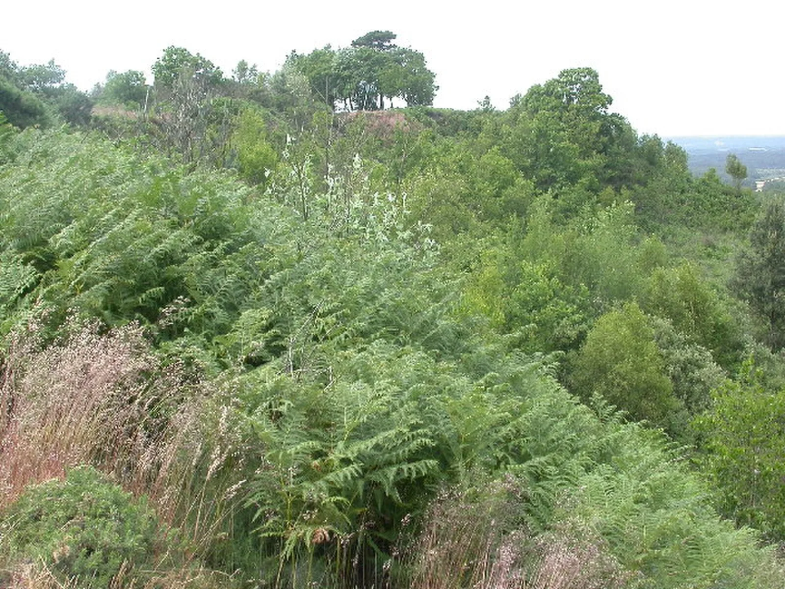
Also known as: Caesar's Camp, Large multivallate hillfort and later park pale at Caesar's Camp
| Type | Fortress/citadel |
|---|---|
| Period | 1500 - 500 BC |
| Country | England |
| Coordinates | 51.2431° N, 0.8041° W |