
 England
Village in Cumbria built over the Roman fort of Verterae, which guarded the strategic Stainmore Pass across the Pennines between Carlisle and York. The 3-acre rectangular fort was probably established under Governor Agricola around AD 79-80, with occupation lasting into the early 5th century. Its final garrison was the Numerus Directorum, a unit of 300-400 soldiers. After Roman withdrawal, a Norman castle (Brough Castle) was constructed within the fort's ruined walls in the 11th century. The antiquarian William Camden rediscovered the site's Roman identity in the 16th century.
Brough, Cumbria
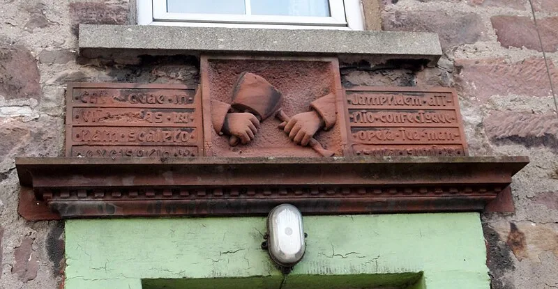
| Type | City/town/settlement |
|---|---|
| Period | 1 - 500 AD |
| Country | England |
| Coordinates | 54.5257° N, 2.3187° W |