
 England
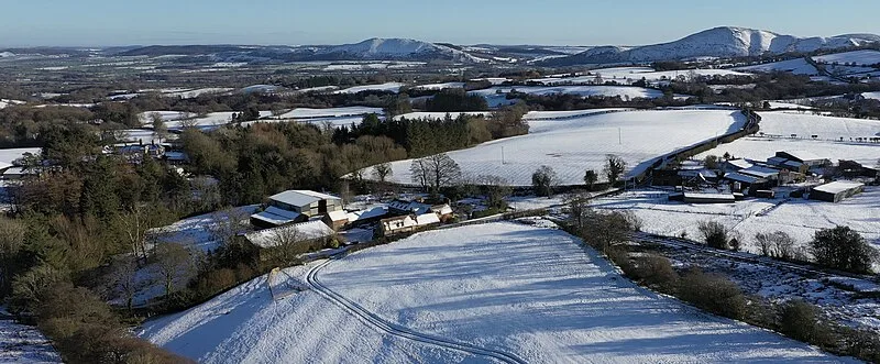
Large multivallate Iron Age hillfort crowning the 460-metre volcanic summit of Caer Caradoc Hill east of Church Stretton, Shropshire. The fort extends 450 metres along the ridge by 160 metres wide, enclosing about 3 hectares, with inner and outer ramparts incorporating natural rock outcrops and a remarkable 300-metre stone causeway leading to the eastern entrance. Local tradition associates the site with the last stand of the British chieftain Caratacus against the Roman legions around AD 50, and a cave near the summit bears his name.
Caer Caradoc
| Type | Fortress/citadel |
|---|---|
| Period | 1500 - 500 BC |
| Country | England |
| Coordinates | 52.5531° N, 2.7728° W |