
 Wales
WalesCaer Euni is an Iron Age hillfort, about 2.5 miles north-east of the village of Llandderfel and about 5 miles north-east of Llyn Tegid, in Gwynedd [1]. The fort is situated on a narrow ridge, at height 365 metres [1]. It is an elongated enclosure, length about 216 metres and width 58 metres, orientated north-east to south-west, aligned with the ridge [1]. There is a rampart enclosing the inner area, with a steep slope to the south-east and ditches and counterscarps elsewhere [1]. The principal entrance is in the north-east [1]. The fort was enlarged: there is a bank, formerly the south-west end, traceable across the interior, and further defences were built to the south-west, notably a large rock-cut ditch and a rampart built with the stone from the ditch [1]. The sites of about 25 round huts, diameter 15–20 feet, have been detected, mostly in the later part of the enclosure [1].
Text: Wikipedia – 'Caer Euni' (revision of 2026-07-21), CC BY-SA 4.0 · sentences selected and shortened by an AI system · source →Caer Euni
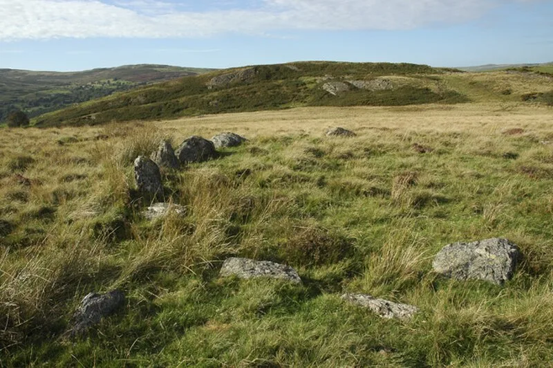
Also known as: Caerau-Crwyni, Caer Crwyini, Caer Eini, Caer Euni (carnedd ymylfaen), Cefn Caer-Euni, Cerwyini, Kaer Kyreini
| Type | Fortress/citadel |
|---|---|
| Period | 1500 - 500 BC |
| Country | Wales |
| Coordinates | 52.9599° N, 3.4892° W |