
 Wales
WalesCastell Cawr, or Tan-y-Gopa as it is known locally, is a heavily forested hill above the town of Abergele in Conwy county borough, Wales [1]. On it is found the Iron Age hillfort of Castell Cawr, which overlooks the River Clwyd [1]. The hill rises to 189 m (620 ft) above sea level [1]. Thomas Pennant visited the area in the 18th century, and noted the existence of the hillfort [1]. In 1860, James Halliwell-Phillipps wrote that the outline of the hillfort was obscured by vegetation, and identified the workings of a Roman lead mine on the hillside [1].
Text: Wikipedia – 'Castell Cawr' (revision of 2022-08-09), CC BY-SA 4.0 · sentences selected and shortened by an AI system · source →Castell Cawr
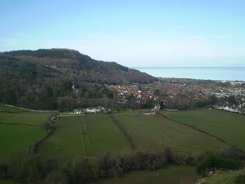
Also known as: Tan-y-Gopa
| Type | Fortress/citadel |
|---|---|
| Period | 1500 - 500 BC |
| Country | Wales |
| Coordinates | 53.2768° N, 3.5977° W |