
 Wales
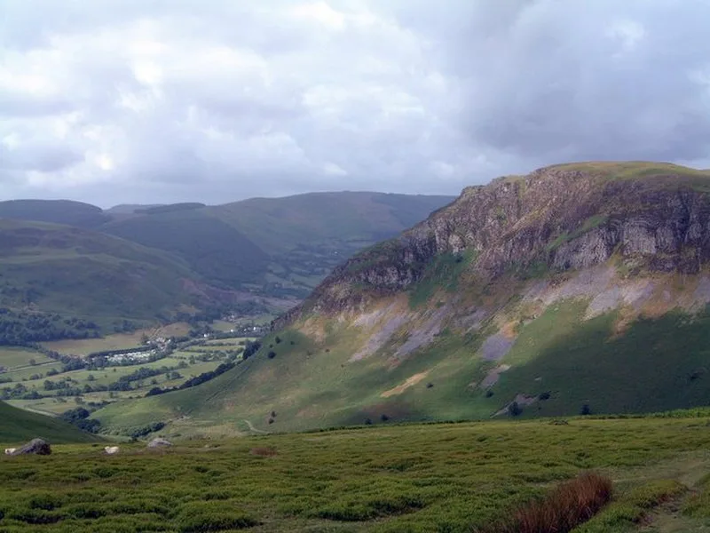
WalesCraig Rhiwarth is a mountain in the Berwyn range, in Powys (formerly Montgomeryshire), Wales [1]. On the summit is an Iron Age hillfort [1]. The altitude of Craig Rhiwarth is 532 metres; the hillfort is one of the highest in Wales [1]. The size of the enclosure is about 850 metres east to west by 400–500 metres [1]. The site has precipitous slopes on all sides except the north: on this side there is a ruinous stone wall above a scarp [1]. There is a simple entrance near the centre of the wall and a slanting entrance at the west end [1]. Within this area are the foundations of about 170 circular stone structures, of diameter 4–12 metres [1]. It is thought that the settlement may have begun in the late Bronze Age and continued into the Iron Age, and that its function probably ceased by the time of the Roman conquest in the 1st century A.D. There are also a few rectangular hafodydd, probably of medieval date, relating to seasonal settlement [1].
Text: Wikipedia – 'Craig Rhiwarth' (revision of 2026-07-18), CC BY-SA 4.0 · sentences selected and shortened by an AI system · source →Craig Rhiwarth
| Type | Fort |
|---|---|
| Period | 1500 - 500 BC |
| Country | Wales |
| Coordinates | 52.8329° N, 3.4019° W |