
 Wales
WalesPen y Gaer is the location of a Bronze Age and Iron Age hillfort near the village of Llanbedr-y-Cennin in the Conwy valley [1]. A natural defensive site, it had a long history of occupation, indicated by the complexity of the defences, which were amended over time [1]. There are two Bronze Age cairns on the north-west slope, and extensive prehistoric and later field systems are nearby [1]. The remains as seen today are mostly of Iron Age origin, but further earthworks, probably of medieval origin, lie on the south-eastern slopes [1]. The remains of the two walls of stone can be seen, as can those of a chevaux-de-frise [1].
Text: Wikipedia – 'Pen y Gaer' (revision of 2026-05-07), CC BY-SA 4.0 · sentences selected and shortened by an AI system · source →Pen y Gaer
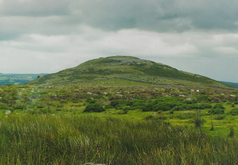
Also known as: Pen-y-gaer, Pen-y-gaer, Caerhun, Pen-y-Gaer, Llanbedr-y-Cennin, جبل پين واى جاير
| Type | Fortress/citadel |
|---|---|
| Period | 1500 - 500 BC |
| Country | Wales |
| Coordinates | 53.2063° N, 3.8730° W |