
 Wales
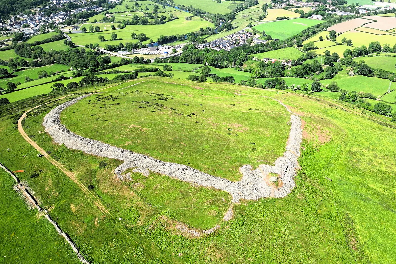
WalesCaer Drewyn is an early Iron Age hillfort to the north of the town of Corwen, Denbighshire [1]. Caer Drewyn is the most southerly hillfort in the Clwydian Range and Dee Valley Area of Outstanding Natural Beauty [1]. It is situated on the spur of a hill between Llangollen and Corwen, commanding the valley junction and fertile plain at the confluence of the River Dee and the River Alwen [1]. The earliest structure was a small enclosure built against a natural rock outcrop [1]. A later, larger fortress was surrounded by a dry-stone wall, probably derived from the abundant scree in the area, and does not have the earthen ramparts of other local hillforts [1]. Caer Drewyn is an Iron Age fort dating back to about 500 BC, however it was in use as a defensive position long after this [1].
Text: Wikipedia – 'Caer Drewyn' (revision of 2025-05-10), CC BY-SA 4.0 · sentences selected and shortened by an AI system · source →Caer Drewyn
Also known as: Caer Drewen, Caer Drewen Camp, Caer Drewin, Caer Drewyn hillfort, קר דרווין
| Type | Fortress/citadel |
|---|---|
| Period | 500 BC - 1 AD |
| Country | Wales |
| Coordinates | 52.9893° N, 3.3606° W |