
 Wales
WalesMoel y Gaer, also known as Moel-y-Gaer Camp or Moel y Gaer Hillfort, is an Iron Age hillfort located on a western spur of the Clwydian Range, near the village of Llanbedr, Denbighshire [1]. Moel y Gaer hillfort is surrounded by steep slopes to the north, west, and south [1]. To the east the approach is almost level and is where the main entrance is sited [1]. Most of the fort is surrounded by a double bank and ditch, with additional banks to the northeast, near the entrance [1]. The hillfort was investigated in 1849 by W. Wynne-Ffoulkes [1]. He dug a number of small trenches and concluded that the eastern entrance had been paved and that the inner rampart was built of stone or fronted with stone [1]. In 2007, a topographic survey was carried out for the Heather and Hillforts Project [1]. The survey identified 15 roundhouse platforms within the enclosure, along with possible evidence that the inner rampart was faced with stone at some time during the site's occupation [1].
Text: Wikipedia – 'Moel y Gaer, Llanbedr' (revision of 2026-07-18), CC BY-SA 4.0 · sentences selected and shortened by an AI system · source →Moel y Gaer, Llanbedr
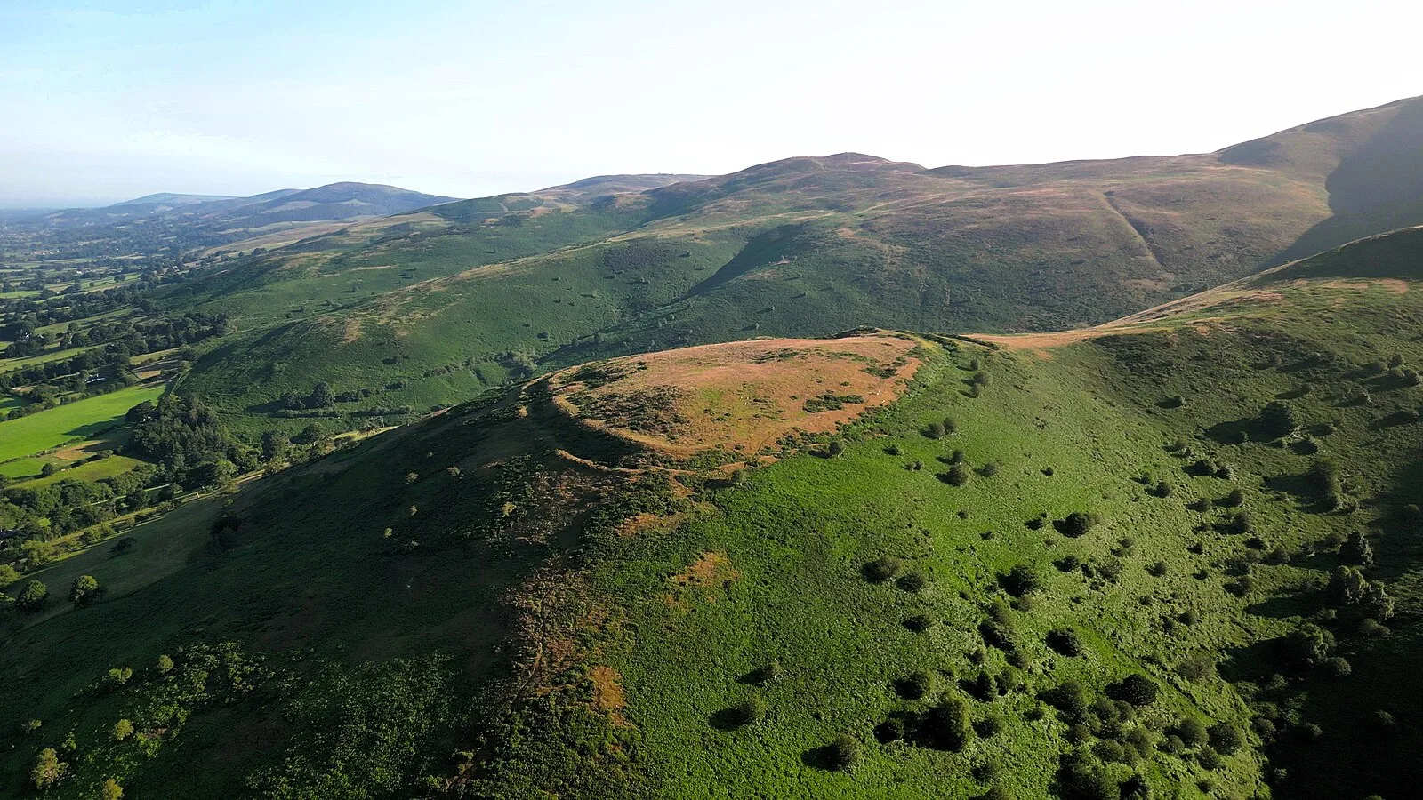
Also known as: Moel y Gaer, Moel y Gaer (Llanbedr), Moel-y-Gaer, Llanbedr Dyffryn Clwyd
| Type | Fortress/citadel |
|---|---|
| Period | 1500 - 500 BC |
| Country | Wales |
| Coordinates | 53.1462° N, 3.2744° W |