
 Wales
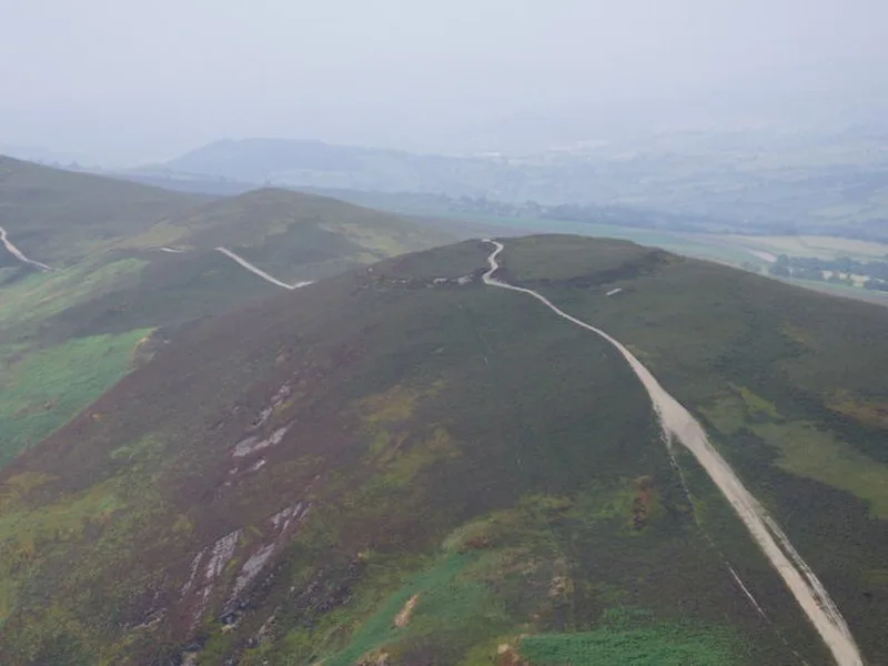
WalesMoel y Gaer is an Iron Age hillfort on a summit of Llantysilio Mountain, northwest of the town of Llangollen, Denbighshire [1]. The defensive works at Moel y Gaer comprise a roughly oval area measuring about 140 metres east-west by 100 metres, enclosing approximately 0.95 hectares, and consist of a single rampart and a discontinuous ditch, with a single entrance on the eastern side [1]. The stone bank is up to 3.1 metres high externally and 0.6 metres internally, and the ditch to the north is 10 metres wide [1]. As part of the Heather and Hillforts Project a topographic survey was commissioned, which took place between December 2006 and January 2007 [1]. The survey recorded the remains of 11 roundhouse platforms within the enclosure, concentrated on the eastern side [1]. In 2010 an archaeological excavation identified two roundhouses of about 7 metres diameter from different periods of occupation, and the results showed preservation of significant archaeological deposits in the interior of the hillfort, but also the fragile nature of the resource [1].
Text: Wikipedia – 'Moel y Gaer, Llantysilio' (revision of 2026-07-18), CC BY-SA 4.0 · sentences selected and shortened by an AI system · source →Moel y Gaer, Llantysilio
Also known as: Moel Y Gaer, Cefn, Moel y Gaer (Llandysilio), Moel y Gaer, Llandysilio, Moel y Gaer Llantysilio
| Type | Fortress/citadel |
|---|---|
| Period | 1500 - 500 BC |
| Country | Wales |
| Coordinates | 53.0082° N, 3.2428° W |