
 Wales
WalesLlwyn Bryn-Dinas is an Iron Age hillfort on the north side of the Tanat valley, about 1 mile west of the village of Llangedwyn, in Powys [1]. The hillfort has a single rampart, about 264 metres north to south and 204 metres east to west, following the contours of a prominent hill [1]. The area is about 3 hectares [1]. There is a simple inturned entrance on the south-east [1]. There was excavation in 1983 [1]. It was found that the site was first occupied in the late Bronze Age, about the 10th–9th century BC; the defences were enlarged about the 4th–3rd century BC, during the Iron Age [1]. Built into the rear of the rampart was an Iron Age smithy, for bronze-casting and iron-working, probably to serve the requirements of the settlement [1].
Text: Wikipedia – 'Llwyn Bryn-Dinas' (revision of 2026-07-18), CC BY-SA 4.0 · sentences selected and shortened by an AI system · source →Llwyn Bryn-Dinas
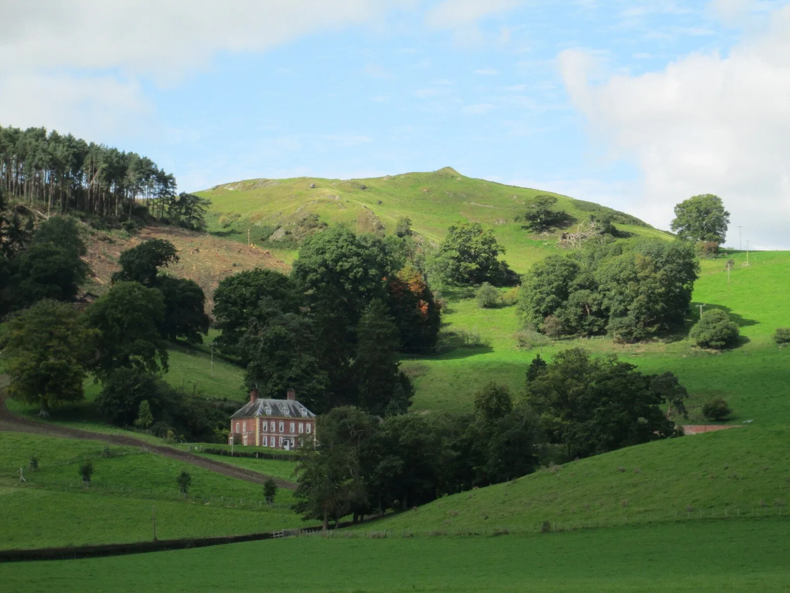
Also known as: Llwyn Bryn Dinas
| Type | Fortress/citadel |
|---|---|
| Period | 1500 - 500 BC |
| Country | Wales |
| Coordinates | 52.8140° N, 3.2290° W |