
 Wales
WalesCaer Bach is a Welsh hillfort of indeterminate age, on a rounded hillock situated near the village of Rowen in Conwy County Borough, North Wales [1]. Its name in English translates as 'Small Fort'; or alternatively 'Little Fortress' [1]. It is situated on the Eastern slopes of Tal-y-Fan, an outlying peak of the Carneddau mountain range in northeast Snowdonia; at an altitude of approximately 413 metres [1]. Little information is known about the history of the fort, as to date, the site has undergone minimal investigation [1]. The fort is classed as a scheduled ancient monument and is of national importance for its potential to enhance our knowledge of prehistoric settlement [1]. The site has been identified as a partial contour fort, unusual for its poorly defensible position within the wider landscape, and also for its small size [1]. Thirty yards southwest of the fort are the remains of a round hut, about 24 feet in diameter and cut into the slope on the northeast and dating from the Iron Age / Roman period [1].
Text: Wikipedia – 'Caer Bach' (revision of 2026-07-19), CC BY-SA 4.0 · sentences selected and shortened by an AI system · source →Caer Bach
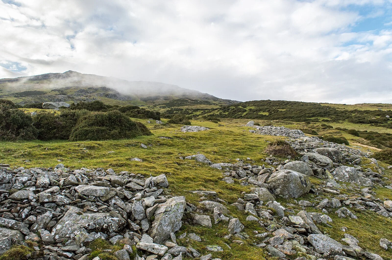
Also known as: Caer Bach (Dyffryn Conwy)
| Type | Fortress/citadel |
|---|---|
| Period | 1500 - 500 BC |
| Country | Wales |
| Coordinates | 53.2389° N, 3.8832° W |