
 England
Threestoneburn Stone Circle is an archaeological site, a stone circle near the village of Ilderton and about 5 miles south of Wooler, in Northumberland, England [1]. The circle, of the late Neolithic or early Bronze Age, is situated in a large clearing in the modern afforestation of Threestoneburn Wood, formerly overlooking a spacious valley to the east [1]. It is on a slight promontory near the confluence of Threestone Burn and one of its tributaries [1]. Its dimensions are 36 metres north-west to south-east by 30 metres north-east to south-west [1]. There are 16 stones of local pink granite, set about 5.5 metres apart; a larger gap on the east side is thought to be an original entrance [1]. Four of these are upright, with heights 0.7 to 1.3 metres; the rest are recumbent [1]. A thick layer of peat was found above the ground surface [1]. A flint tool was found, and spreads of charcoal which may be the traces of fire-rituals [1].
Text: Wikipedia – 'Threestoneburn Stone Circle' (revision of 2026-07-22), CC BY-SA 4.0 · sentences selected and shortened by an AI system · source →Threestoneburn Stone Circle
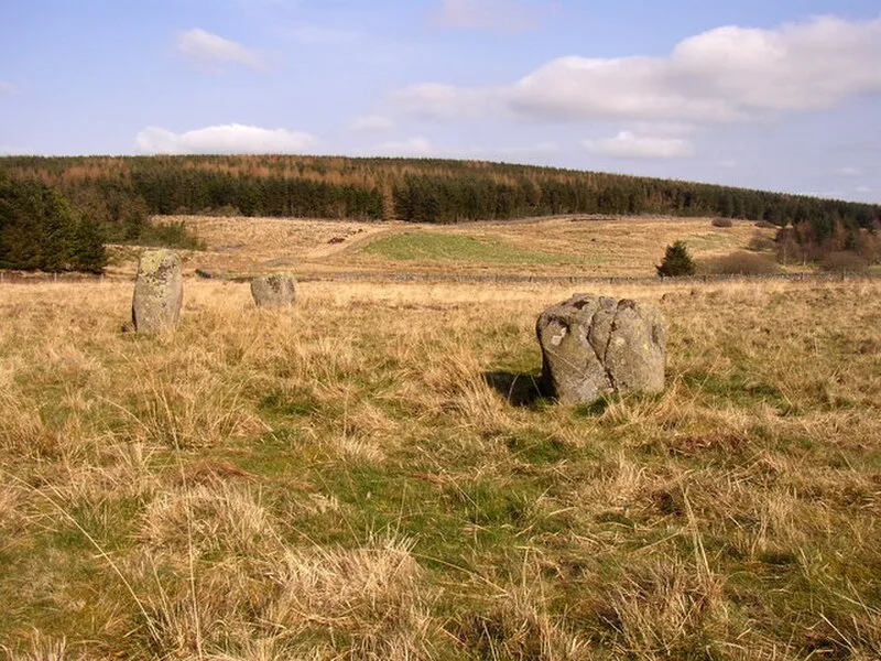
Also known as: Stone circle and stone alignment 370m west of Threestoneburn House
| Type | Stone circle |
|---|---|
| Period | 4500 - 3000 BC |
| Country | England |
| Coordinates | 55.4784° N, 2.0468° W |