
 England
(2nd c. AD) Planetrees is an extant section of Hadrian's Wall named after the farm located around 250 metres (820 ft) to the west [1] [2]. The surviving section is 35 metres (115 ft) in length [1]. The eastern part (approximately 20 metres/66 ft) is built as Broad Wall, 10 Roman Feet wide, while the western section (approximately 15 metres/49 ft) uses Narrow Wall construction at 8 Roman Feet wide, yet still on foundations originally installed for a Broad Wall [1].
Planetrees - Hadrian's Wall Section
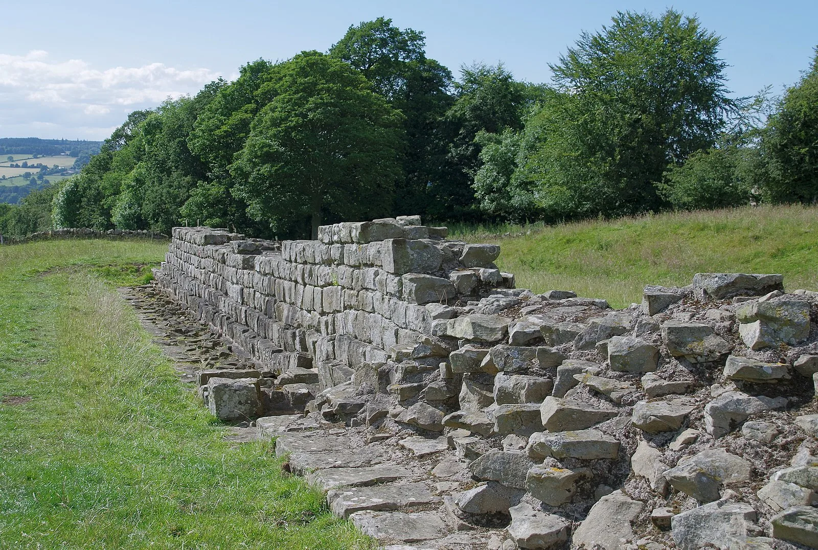
Also known as: Planetrees, Planetrees (část Hadriánova valu), Planetrees (Hadrian's Wall section), Planetrees Roman Wall, 派拿次羅馬長城
| Type | Wall |
|---|---|
| Period | 1 - 500 AD |
| Country | England |
| Coordinates | 55.0212° N, 2.1124° W |