
 England
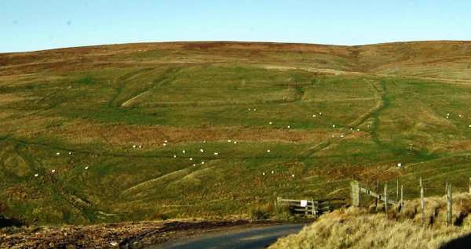
Chew Green is the site of the ancient Roman encampment, commonly but erroneously called Ad Fines on the 1885-1900 edition of the Ordnance Survey map, in Northumberland, England, 8 miles (13 km) north of Rochester and 9 miles (14 km) west of Alwinton [1]. The encampment was adjacent to Dere Street, a Roman road that stretched south to York (Eboracum), and almost on the present-day border with Scotland [1]. Archaeological excavation at Chew Green has uncovered a complex of Roman military camps consisting of a Roman fort, two fortlets, two camps and a section of Roman road [1]. The largest camp structure is a square that encloses about 17 acres with a defensive rampart and ditch [1].
Text: Wikipedia – 'Chew Green' (revision of 2026-07-19), CC BY-SA 4.0 · sentences selected and shortened by an AI system · source →Chew Green
| Type | Fortress/citadel |
|---|---|
| Period | 1500 - 500 BC |
| Country | England |
| Coordinates | 55.3711° N, 2.3370° W |